Time zone IST (UTC+5:30) | Mandal Alur Elevation 508 m | |
 | ||
Molagavalli is a village in Kurnool district of the Indian state of Andhra Pradesh. It is located in Alur mandal of Tenali revenue division.
Contents
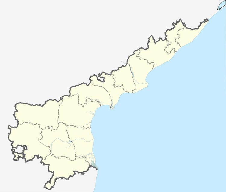
Map of Molagavalli, Andhra Pradesh 518396
Geography
Molagavalli is located at 15.3559°N 77.3296°E / 15.3559; 77.3296 and at an altitude of 508 m (1,667 ft).
References
Molagavalli Wikipedia(Text) CC BY-SA
