
3-digit postal code prefix 912 | Time zone WAT (UTC+1) Area 4,338 km² | |
 | ||
Weather 30°C, Wind NE at 5 km/h, 11% Humidity | ||
Mischa mokwa 2011
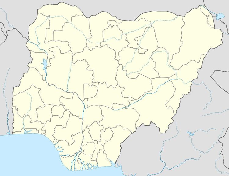
Mokwa is a Local Government Area in Niger State, Nigeria. Its headquarters are in the town of Mokwa on the A1 highway in the west of the area.
Contents
- Mischa mokwa 2011
- Zagrajmy w fifa 14 hogaty vs zirael liga mistrz w fina cska mokwa vs atl tico madryt
- References
The long southern border of the LGA is formed by the Niger River from Lake Jeba in the west beyond the confluence of the Kaduna River in the east. Kwara State and Kogi State are across the Niger from the LGA. The A1 highway crosses the Niger at Gana to Jebba in Kwara State.
It has an area of 4,338 km² and a population of 244,937 at the 2006 census.
The postal code of the area is 912.
Zagrajmy w fifa 14 hogaty vs zirael liga mistrz w fina cska mokwa vs atl tico madryt
References
Mokwa Wikipedia(Text) CC BY-SA