
Official name Mokolo Dam Opening date 1980 Height 55 m Surface area 8.288 km² | Type of dam rockfill Creates Mokolo Dam Reservoir Length 525 m Total capacity 146 million m³ | |
 | ||
Operator Department of Water and Sanitation Similar Matimba Power Station, Doorndraai Dam, Waterberg Biosphere, Tzaneen Dam, Luphephe Dam | ||
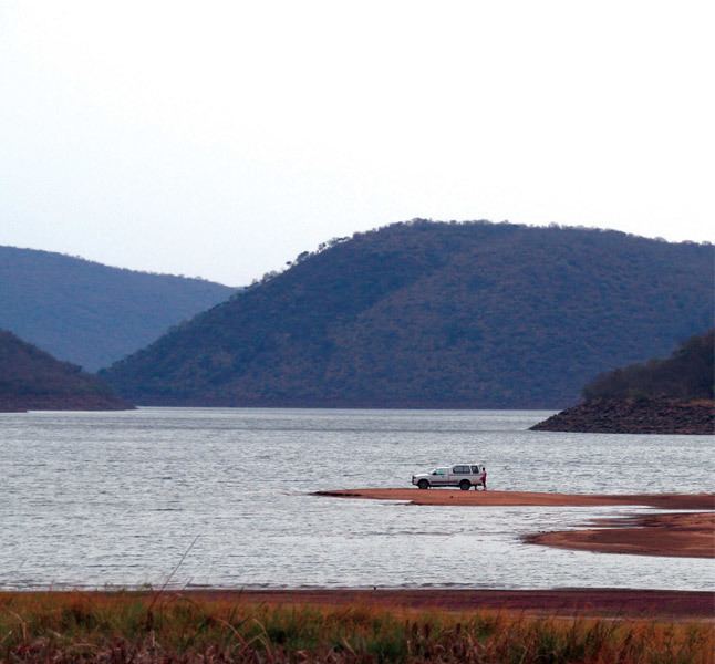
Mokolo Dam (previously known as the Hans Strijdom Dam) is a rock-fill type dam located on the Mokolo River, near Lephalale, Limpopo, South Africa. It was established in 1980. The Malmanies River and the Bulspruit River, two tributaries of the Mokolo, also enter the dam from its left side. The dam supplies water to Lephalale town. The dam mainly serves for municipal and industrial purposes and its hazard potentials has been ranked high (3).
Map of Mokolo Dam, South Africa
The dam supplies the Lephalale area, Grootgeluk coal mine, Matimba power station and part of the water requirements of Medupi power station.
The Mokolo Dam Nature Reserve is located by the eastern and southern sides of the dam. The shoreline of the dam is heavily infested with Phragmites reeds.
References
Mokolo Dam Wikipedia(Text) CC BY-SA