
Official name Luphephe Dam Opening date 1964 Length 85 m Surface area 142 ha | Type of dam arch Height 39 m Catchment area 157 km² Total capacity 14.8 million m³ | |
 | ||
Operator(s) Department of Water Affairs and Forestry Similar Nwanedi Provincial Park, Middle Letaba Dam, Flag Boshielo Dam, Albasini Dam, Damani Dam | ||
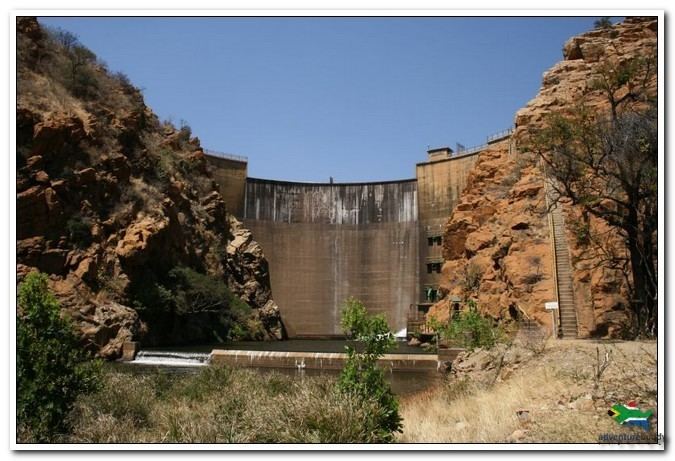
Luphephe Dam is an arch type dam located on the Luphephe River, a tributary of the Nwanedi River, part of the Limpopo River basin. It is located 48 km to the SW of Musina, Limpopo, South Africa. It was established in 1964 and it serves mainly for irrigation purposes. The hazard potential of the dam has been ranked high (3).
Map of Luphephe Dam, South Africa
The Nwanedi Dam is located right to the west of the dam, less than 0.25 km away.
References
Luphephe Dam Wikipedia(Text) CC BY-SA