
Elevation 678 m (2,224 ft) | Microregion Iporá Microregion Time zone BRT/BRST (UTC-3/-2) | |
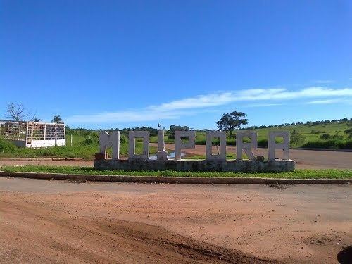 | ||
Moiporá is a municipality in eastern Goiás state, Brazil.
Contents
- Map of MoiporC3A1 State of GoiC3A1s Brazil
- Distances and Highway Connections
- Municipal Boundaries
- Economic Information
- Health and education
- History
- References
Map of Moipor%C3%A1 - State of Goi%C3%A1s, Brazil
Distances and Highway Connections
Municipal Boundaries
Neighboring municipalities: Iporá, Córrego do Ouro, Cachoeira de Goiás, Ivolândia, Aurilândia, and Israelândia.
Economic Information
The economy was based on services, public employment, small transformation industries, cattle raising, and agriculture. In 2005 there were 3 industrial units and 20 retail units. The sector employing more workers was public administration with 153 workers in 2003. There were no financial institutions in 2007.
In 2006 there were 50,000 head of cows, of which 4,350 were milk cows. Swine, poultry, egg, and milk production were modest. The main agricultural products in planted area were rice, bananas, manioc, and corn. None exceeded 500 planted hectares.
Agricultural data 2006
Health and education
In 2007 there were no hospitals and only 4 walk-in health clinics. The infant mortality rate was 28.88 for every 1,000 live births in 2000.
In 2006 the school system had 4 schools, 20 classrooms, 23 teachers, and 399 students. There were no institutions of higher learning. The adult literacy rate was 85.7% in 2000.
History
The region was settled in 1930 by Sebastião Moreira da Silva and his children who built the first huts in an area of fertile lands and perennial springs. With the arrival of new settlers a village (arraial) was formed called "Cobó", the name given to the knife that Silva used to keep away creditors who wanted to charge him. In 1953 the settlement became a district belonging to Aurilândia and was called Moiporá, a combination of Moitu (Cachoeira de Goiás) and Iporá, a neighboring municipality. In 1958 it was dismembered from Aurilândia and made a municipality.