
Elevation 637 m (2,090 ft) Area 1,263 km² | Microregion Iporá Microregion Time zone BRT/BRST (UTC-3/-2) | |
 | ||
Ivolândia is a municipality in eastern Goiás state, Brazil. The population was 2,718 (2007) in a total area of 1,262.8 km² (10/10/2002).
Contents
- Map of IvolC3A2ndia State of GoiC3A1s Brazil
- Location
- Demographics
- The economy
- Education and Health
- History
- References
Map of Ivol%C3%A2ndia - State of Goi%C3%A1s, Brazil
Location
Neighboring municipalities: Iporá, Amorinópolis, Cachoeira de Goiás, Palestina de Goiás, Caiapônia, Moiporá, Arenópolis, and Paraúna.
Districts, villages, and hamlets
Demographics
The economy
The economy is based on services, cattle, milk products, and limited agriculture. There was 01 dairy—UNILAT - Indústria de Laticínios Ltda (07/06/2006). There were no bank branches in 2007. The cattle here had 93,000 head in 2006. The main agricultural crops were corn, manioc, rice, soybeans, and sugarcane.
Motor vehicles
Agricultural data 2006
Education and Health
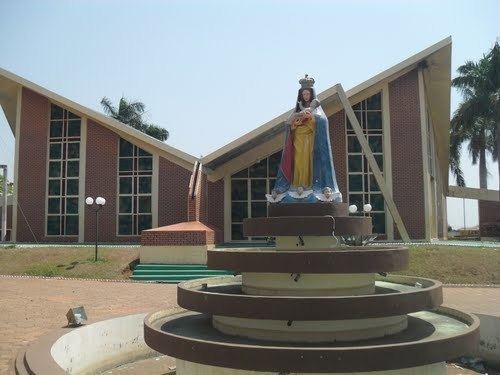
History
The opening up of these lands began in 1939 when several families from Minas Gerais and Bahia settled along the banks of the Rio Claro and the Córrego Encantado seeking gold and diamonds. In 1944 a dirt road was opened and a village was formed called Boa Vista, because of the location on the plateau between Iporá and Cachoeira de Goiás. In 1947 the first church dedicated to Nossa Senhora da Abadia was built and one year later came the first primary school. In 1952 Boa Vista was made a district of Aurilândia and the name was changed to Ivolândia, in homage to the pioneer Ivo Moreira Neves. In 1953 it was raised to municipal status.