
Area 162.6 km² | Time zone BST (UTC+6) | |
 | ||
Website Official Map of Mohanpur | ||
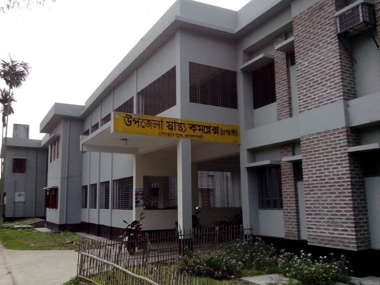
Mohanpur (Bengali: মোহনপুর) is an Upazila of Rajshahi District in the Division of Rajshahi, Bangladesh.
Contents
Map of Mohanpur, Bangladesh
Geography
Mohanpur is located at 24.5639°N 88.6500°E / 24.5639; 88.6500 . It has 24,828 households and a total area of 162.65 km². The Postal Code is 6220.
Demographics
According to the 1991 Bangladesh census, Mohanpur had a population of 126,396, of whom 63,384 were aged 18 or over. Males constituted 50.32% of the population, and females 49.68%. Mohanpur had an average literacy rate of 25.2% (7+ years), against the national average of 32.4%.
Administration
Mohanpur has 6 Unions/Wards, 167 Mauzas/Mahallas, and 154 villages. Two Government High School are situated here.
Education
- Mohanpur Government High School
- Mohanpur Government Girls High School
- Bakshimoile High School
- Keshorhat High School
- Mougachi High School
- Karisha High School
- Dhopaghata A.K High School
- Motiher high School
- amrail high school
References
Mohanpur Upazila Wikipedia(Text) CC BY-SA