
 | ||
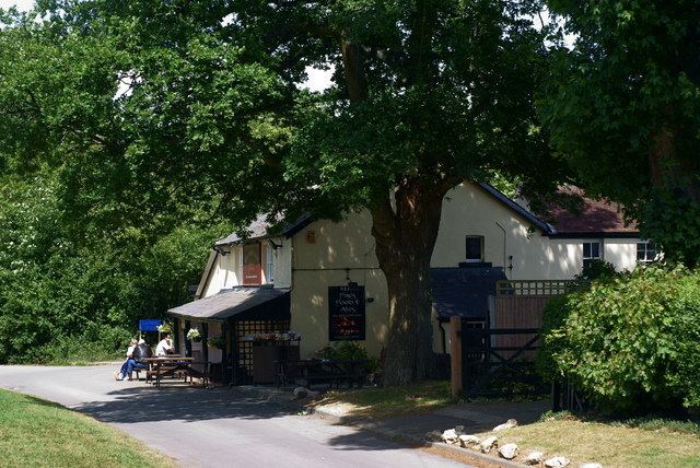
Mogador is a hamlet in the Reigate and Banstead district, in the English county of Surrey. It is at the edge of Banstead Heath, which provides it a green buffer from other communities, and about 1 km from the top of the north-facing dip slope of the North Downs. At an elevation of about 200 metres it is one of the highest settlements in south-east England. It is just north of the M25 motorway.
Contents
Map of Mogador, Tadworth, UK
The nearest settlement is Lower Kingswood, through which Mogador is accessed by road. Other nearby settlements include the hamlet of Margery, the villages of Kingswood, Tadworth and Walton-on-the-Hill, and the town of Reigate. The area surrounding the hamlet is a mixture of farmland and common land, with Colley Hill and Reigate Hill to the south and east being National Trust land. Other common land areas nearby include Walton Heath and the Buckland Hills. The North Downs Way passes immediately to the south of the hamlet.
The hamlet gave its name to the telephone exchange which provides the service to Lower Kingswood and most of Kingswood, now included in the 01737 area code.
Transport
The closest junction of the M25 is Junction 8, Reigate Hill, just 1 mile (1.6 km) east, for the A217 and A240.
The nearest station, Kingswood, is 3 miles (4.8 km) north.