
OS grid SJ127678 Elevation 440 m | Topo map OS Landranger 116 Prominence 156 m Listing Marilyn | |
 | ||
Similar Foel Fenlli, Gyrn Moelfre, Moel y Gamelin, Cefn yr Ogof, Cadair Berwyn | ||
Penycloddiau is a hill in Flintshire, Wales, and one of five Marilyns in the range.
Map of Penycloddiau, Denbigh, UK
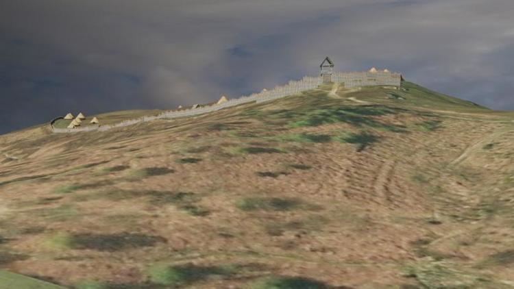
Offa's Dyke Path crosses the summit, and the Clwydian Way skirts the western slopes. Like Foel Fenlli further south, Penycloddiau has an Iron Age hillfort around the summit area. At 26 hectares (64 acres), it is one of the largest hillforts in Wales.
References
Penycloddiau Wikipedia(Text) CC BY-SA