
Postal code (street) 0835 Local time Wednesday 12:39 PM | PO box 0835 Area code 015 | |
 | ||
Weather 29°C, Wind NE at 5 km/h, 38% Humidity | ||
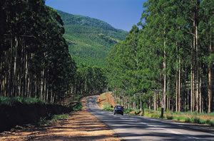
Modjadjiskloof, also known by its former name Duiwelskloof (Afrikaans for Devil's Gorge) is a small town situated at the foot of the escarpment in the Limpopo province of South Africa.
Contents
Map of Modjadjiskloof, South Africa
Village 24 km north of Tzaneen. Surveyed in 1919 and proclaimed in 1920, it is administered by a village management board. The name, Afrikaans for ‘Devil’s ravine’, was possibly given by virtue of the rugged, awe inspiring aspect, or because of the difficulty with which laden wagons trekked through it in the rainy season. The railway station was called Modjadji in 1914 but was later renamed. The Sunland Baobab tree is located nearby.
Name change
Duiwelskloof was renamed Modjadjiskloof on June 14, 2004 in honor of the Rain Queen,who still remains the only ruling queen in South Africa.Modjadji, hereditary ruler of the Balobedu people of the area.