
Established 1842 LGA(s) Barossa Council Postal code 5353 | Postcode(s) 5353 Founded 1842 Local time Wednesday 5:04 PM | |
 | ||
Weather 33°C, Wind NW at 19 km/h, 23% Humidity | ||
Moculta is a locality in the Australian state of South Australia located about 69 kilometres (43 mi) north-east of the state capital of Adelaide and about 12 kilometres (7.5 mi) north-east of the municipal seat of Angaston. At the 2006 census, Moculta shared a population of 384 with parts of the neighbouring localities of Angaston and Truro.
Map of Moculta SA 5353, Australia
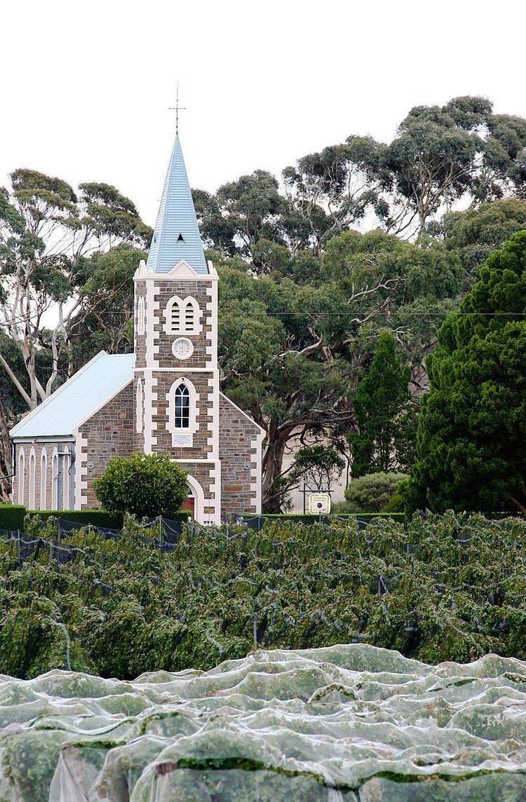
The earliest settlers in the area were English, Scottish and Irish migrants. German migrants also came to the area from 1853. They built both the Gruenberg (1859) and Gnadenberg Lutheran churches. The township of Moculta itself was surveyed in 1865 and occupied soon after.
The locality of Grünberg was renamed to Karalta as a consequence of the move to rename "names of enemy origin" during World War I, but has been named back to the anglicised Gruenberg since then. It is now included in Moculta and Penrice Gnadenberg is also now included in Moculta.