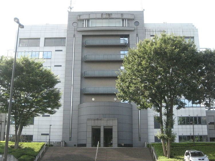
Population 38,438 (Feb 2016) | Region Kantō Area 15.33 km² Local time Wednesday 8:58 AM | |
 | ||
Weather 5°C, Wind N at 32 km/h, 80% Humidity | ||
Miyoshi (三芳町, Miyoshi-machi) is a town located in Iruma District, Saitama Prefecture, in the central Kantō region of Japan. As of 1 February 2016, the town had an estimated population of 38,438 and a population density of 2510 persons per km². Its total area was 15.33 square kilometres (5.92 sq mi).
Contents
- Map of Miyoshi Iruma District Saitama Prefecture Japan
- Geography
- Surrounding municipalities
- History
- Economy
- Education
- Railway
- Highway
- Sister city relations
- Noted people from Miyoshi
- References
Map of Miyoshi, Iruma District, Saitama Prefecture, Japan
Geography
Miyoshi is located in south-central Saitama Prefecture.
Surrounding municipalities
History
The village of Miyoshi was created within Iruma District, Saitama on April 1, 1889 with the establishment of the municipalities system. It was elevated to town status on November 3, 1970.
Economy
The economy of Miyoshi is largely agricultural, with sweet potatoes a major crop. However, the town is also a bedroom community with some 25% of its working population commuting to nearby Tokyo.
Education
Miyoshi has five elementary schools and three middle schools, but no high school. Chiba-based Shukutoku University has a campus in Miyoshi.
