
Local time Tuesday 10:29 PM | Elevation 1,700 m | |
 | ||
Weather 19°C, Wind S at 6 km/h, 70% Humidity | ||
Mitooma is a town in the Western Region of Uganda. It is the main municipal, administrative, and commercial center of Mitooma District.
Contents
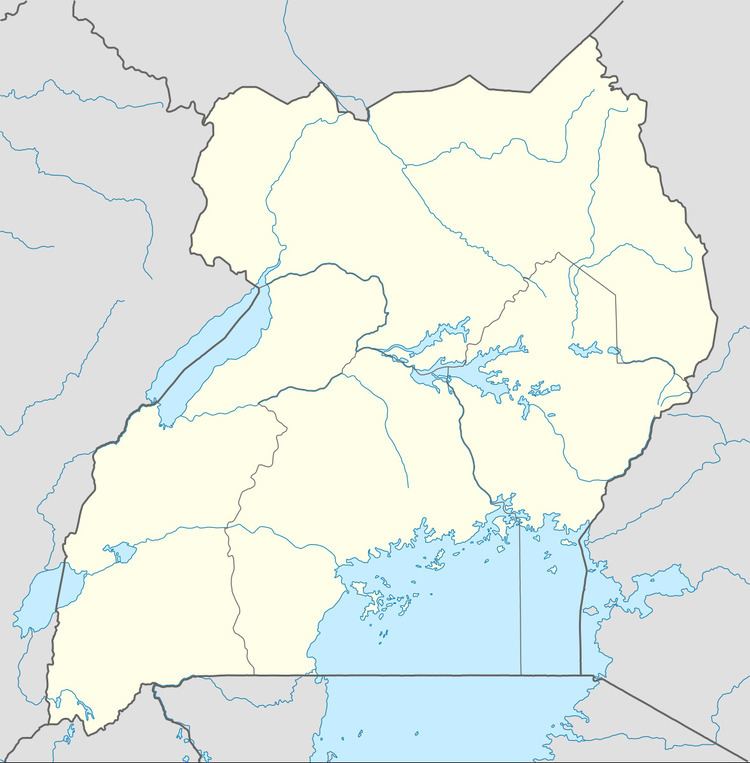
Map of Mitoma, Uganda
Location
Mitooma is approximately 24 kilometres (15 mi), by road, southwest of Bushenyi, the nearest large town. This is approximately 85 kilometres (53 mi), by road, west of Mbarara, the largest city in the Ankole sub-region. The coordinates of the town are 0°36'54.0"S, 30°02'42.0"E (Latitude:-0.6150; Longitude:30.0450).
Population
In November 2013, the population of Mitooma Municipality was estimated at 22,000.
Points of interest
References
Mitooma Wikipedia(Text) CC BY-SA