
 | ||
Mitkaloto Peak (Bulgarian: връх Миткалото, ‘Vrah Mitkaloto’ \'vr&h mit-'ka-lo-to) is the rocky, partly ice-free peak rising to 1200 m on Eurydice Peninsula, Danco Coast in Graham Land, Antarctica next north of Kapisturia Cove and north-northwest of the terminus of Bozhinov Glacier on the east coast of Charlotte Bay.
Contents
Map of Mitkaloto Peak, Antarctica
The feature is named after the Bulgarian enlightener and revolutionary Matey Preobrazhenski – ‘Mitkaloto’ (Mono Seizmonov, 1828-1875).
Location
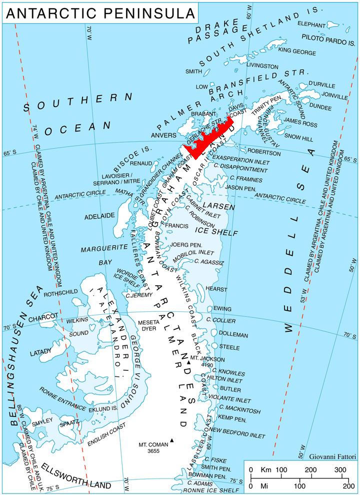
Mitkaloto Peak is located at 64°35′40″S 61°30′35″W, which is 7.55 km east-northeast of the east side of the entrance to Giffard Cove, 8.7 km southeast of Meusnier Point and 3.9 km north-northwest of Petrov Ridge. British mapping in 1978.
Maps
References
Mitkaloto Peak Wikipedia(Text) CC BY-SA