
Country United States Time zone CST (UTC-6) Elevation 204 m Zip code 62353 Population 143 (2010) | Established November 8, 1853 GNIS feature ID 0429377 Area 91.79 km² Local time Tuesday 10:44 AM | |
 | ||
Weather -4°C, Wind NE at 18 km/h, 72% Humidity | ||
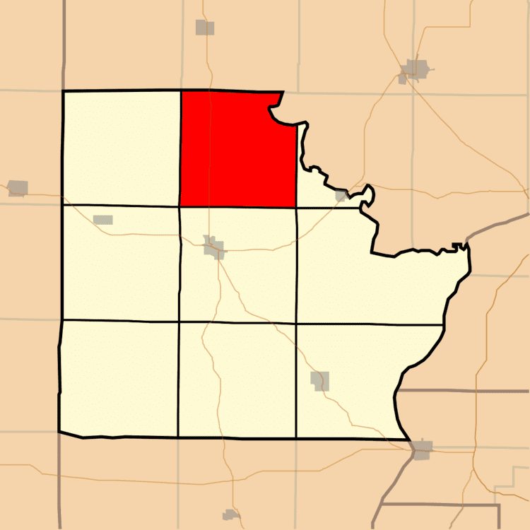
Missouri Township is one of nine townships in Brown County, Illinois, USA. As of the 2010 census, its population was 143 and it contained 89 housing units.
Contents
- Map of Missouri Township IL 62353 USA
- Geography
- Cemeteries
- Major highways
- School districts
- Political districts
- References
Map of Missouri Township, IL 62353, USA
Geography
According to the 2010 census, the township has a total area of 35.44 square miles (91.8 km2), all land.
Cemeteries
The township contains these eight cemeteries: Beans, Bell, Clark, Glasgow Farm, Kinman Burial Ground, Linn-Walker Graves, Miller Land and Rigg.
Major highways
School districts
Political districts
References
Missouri Township, Brown County, Illinois Wikipedia(Text) CC BY-SA