
Length 74.2 km | ||
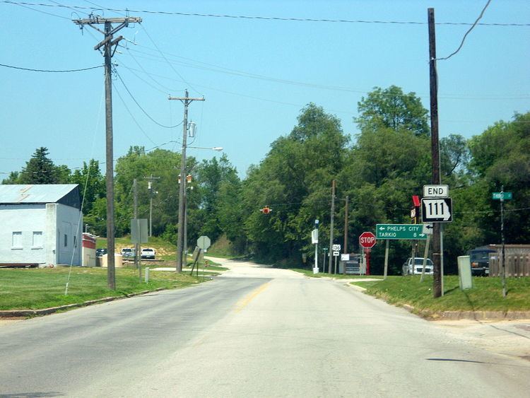 | ||
Route 111 is a highway in northwestern Missouri. Its northern terminus is at U.S. Route 136 in Rock Port; its southern terminus is at U.S. Route 59 in Oregon. The entire length of Route 111 is part of the Lewis and Clark Trail.
Contents
Map of MO-111, Missouri, USA
Auxiliary route
Spur Route 111 is a 0.561-mile-long (0.903 km) spur route which connects to U.S. Route 59. It lies entirely within the city of Craig.
References
Missouri Route 111 Wikipedia(Text) CC BY-SA