
Elevation 5,374 ft (1,638 m) | Prominence 1,204 ft (367 m) Range Black Hills | |
 | ||
Topo map USGS Missouri Buttes, WY Similar Black Hills, Cement Ridge Lookout, Devils Tower, Terry Peak, Castle Peak | ||
Missouri Buttes are located in Crook County in northeast Wyoming on the northwest flank of the Black Hills Uplift. The buttes are 3.5 miles (5.6 km) northwest (N60°W) of Devils Tower between the Little Missouri and the Belle Fourche rivers.
Map of Missouri Buttes, Wyoming 82714, USA
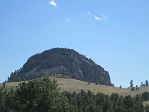
The Missouri Buttes consist of four separate summits which arise from an eroded mesa platform, the Butte Divide, which has an elevation of 4,650 feet (1,420 m). The butte peaks form a rough rectangle 0.5 x 0.65 mi. in size. The northwest butte is the highest with a summit at 5,374 feet (1,638 m). The northeast butte has an elevation of 5,212 feet (1,589 m), the southwest butte has an elevation of 5,020 feet (1,530 m) and the southeast butte has an elevation of 5,055 feet (1,541 m). A small lake, the Missouri Buttes Lake, lies 800 metres (2,600 ft) west of the buttes.
As with Devils Tower, the buttes are composed of igneous intrusive phonolite which exhibits columnar jointing. The rocks of the buttes have been interpreted to be part of a laccolith, a magmatic stock or volcano conduits that became exposed at the surface after overlying rocks eroded away.