
Length 39.1 km | Counties: Benton | |
 | ||
County | ||
Mississippi Highway 5 (MS 5) is a state highway in Benton County, Mississippi. It runs 26.929 mi (43.338 km) from MS 178 in Hickory Flat north to U.S. Route 72 (US 72) to the south of Michigan City. The route runs through the Holly Springs National Forest for much of its length and passes through Ashland. To the south of Ashland, MS 5 has a concurrency with MS 4. The MS 5 designation was first used by 1932 for an unpaved road between Hickory Flat and the Tennessee border in Michigan City. In 1943, the northern terminus was cut back to US 72. MS 5 was completely paved by 1951 and has retained its current alignment since then.
Contents
Map of MS-5, Mississippi, USA
Route description
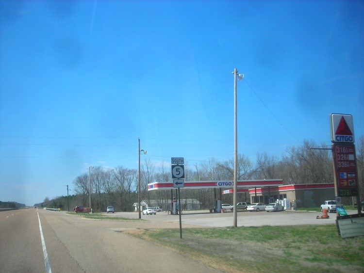
MS 5 begins at an intersection with MS 178 in the community of Hickory Flat, which is within the Holly Springs National Forest. The route heads north from this point on a two-lane undivided road through dense forests with some fields and homes. After a junction with the western terminus of MS 2, the highway continues through rural land and passes a few lakes. After crossing the Tippah River, MS 5 reaches the MS 4 intersection and forms a concurrency with that route.
The two routes leave the boundaries of the Holly Springs National Forest, passing through a mix of farmland and woodland with some homes and coming to the community of Ashland. Here, MS 4 splits from MS 5 by turning to the west, and MS 5 becomes Boundary Drive, which runs by businesses and homes. The road intersects the western terminus of MS 370 before it leaves Ashland. The route heads into agricultural areas with some woodland and homes, making a turn to the northwest before resuming north. MS 5 comes to its northern terminus at an intersection with US 72 located to the south of Michigan City. MS 5 is legally defined in Mississippi Code § 65-3-3. The entire length of MS 5 is designated a scenic route by Chapter 316, Senate Bill 2547, Laws 1989.
History
What is now MS 5 originally existed as an unnumbered unpaved road by 1928. The MS 5 designation was assigned by 1932 for the road running from US 78 in Hickory Flat to the Tennessee border in Michigan City, where it connected to SR 18. This road was a gravel road south of Ashland and an earth road north of Ashland. Two years later, the portion north of Ashland became a gravel road. In 1943, the northern terminus of MS 5 was cut back to its current location at US 72, with MS 7 connecting to SR 18 at the Tennessee border. By 1948, the portion of route south of Ashland was paved. The remainder of the route was paved three years later. Since then, the route has not undergone any alignment changes.
Major intersections
The entire route is in Benton County.