Trisha Shetty (Editor)

Mississippi Highway 33

Updated on
Edit
Like
Comment
Share on FacebookTweet on TwitterShare on LinkedInShare on Reddit
South end:
  
LA 19 near Centreville

Length
  
72.35 km

East end:
  
US 61 in Fayette

Mississippi Highway 33

Counties
  
Jefferson County, Mississippi

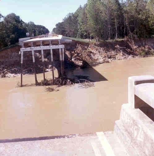
Mississippi Highway 33 (MS 33) is a state highway in southwestern Mississippi. It runs from north to south for 45.7 miles (73.5 km) and serves the counties of Jefferson, Franklin, Amite, and Wilkinson.

Contents

Map of MS-33, Mississippi, USA

Locales on route

From north to south

  • Fayette
  • Roxie
  • Crosby
  • Gloster
  • Centreville
  • References

    Mississippi Highway 33 Wikipedia