
Country United States FIPS code 28-16620 Elevation 52 m Zip code 39633 Local time Saturday 3:08 PM | Time zone Central (CST) (UTC-6) GNIS feature ID 0693015 Area 5.5 km² Population 308 (2013) Area code 601 | |
 | ||
Weather 20°C, Wind SE at 10 km/h, 23% Humidity | ||
Crosby is a town in Amite and Wilkinson counties, Mississippi, United States. The population was 318 at the 2010 census. It is part of the McComb, Mississippi Micropolitan Statistical Area.
Contents
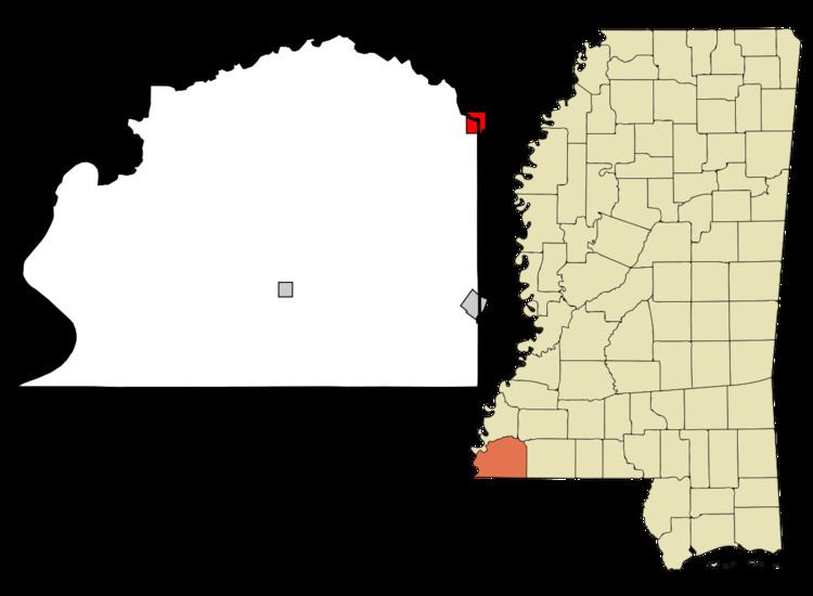
Map of Crosby, MS, USA
History
The town of Crosby has been known by several names throughout its history. It was first called Dayton in 1800, in honor of its first merchant, David Day. In 1917, the Foster Creek Lumber Company built a large mill here, and the town was renamed Stephenson, in honor of the owner of the lumber company, Fred Stephenson. When L.O. Crosby bought the lumber mill in 1934 the town changed its name to Crosby.
Geography
Crosby straddles the boundary between Amite County on the north and east and Wilkinson County on the west. In the 2000 census, 258 of the town's 360 residents (71.7%) lived in Wilkinson County and 102 (28.3%) in Amite County.
According to the United States Census Bureau, the town has a total area of 2.1 square miles (5.5 km²), of which 2.1 square miles (5.5 km²) is land and 0.47% is water.
Demographics
As of the census of 2000, there were 360 people, 131 households, and 96 families residing in the town. The population density was 169.5 people per square mile (65.6/km²). There were 157 housing units at an average density of 73.9 per square mile (28.6/km²). The racial makeup of the town was 71.94% African American, 27.78% White and 0.28% from two or more races.
There were 131 households out of which 34.4% had children under the age of 18 living with them, 38.2% were married couples living together, 32.8% had a female householder with no husband present, and 26.7% were non-families. 22.9% of all households were made up of individuals and 10.7% had someone living alone who was 65 years of age or older. The average household size was 2.75 and the average family size was 3.27.
In the town, the population was spread out with 31.1% under the age of 18, 10.0% from 18 to 24, 24.4% from 25 to 44, 21.9% from 45 to 64, and 12.5% who were 65 years of age or older. The median age was 34 years. For every 100 females there were 68.2 males. For every 100 females age 18 and over, there were 74.6 males.
The median income for a household in the town was $15,417, and the median income for a family was $16,917. Males had a median income of $23,542 versus $15,313 for females. The per capita income for the town was $6,763. About 42.1% of families and 47.4% of the population were below the poverty line, including 56.3% of those under age 18 and 34.0% of those age 65 or over.
Education
The town of Crosby is served by two public school districts - Amite County and Wilkinson County.