
Length 125.8 km | ||
 | ||
Counties | ||
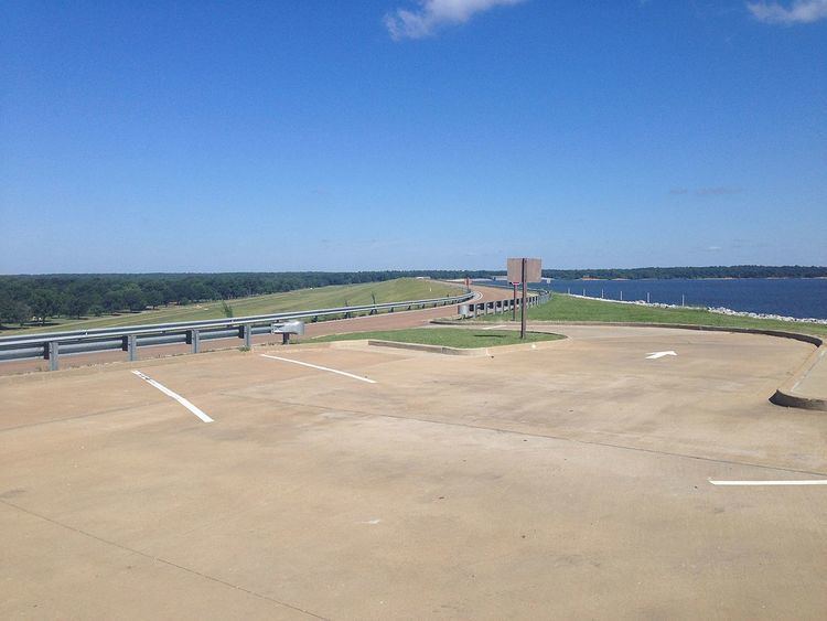
Mississippi Highway 315 (MS 315) is a 78.174-mile (125.809 km) long state highway located in northern Mississippi. The western terminus of the route is at US 49/US 61 near Rich in Coahoma County while the eastern terminus is at MS 9W near Paris in Lafayette County. Along the way, the highway passes over Sardis Dam east of the town of Sardis. It is a very rare east-west odd-numbered state highway, but it is signed north-south.
Contents
Map of MS-315, Mississippi, USA
Route description
MS 315 begins at an intersection with US 49/US 61 near Rich in Coahoma County. The route heads east, intersecting MS 3 in Sledge and Interstate 55 in Sardis, Mississippi. The route then follows Sardis Dam over Sardis Lake and turns south, where eastbound traffic joins westbound traffic on MS 6/US 278 for a few miles before turning southeast to Water Valley where it intersects MS 7. The portion of the highway between Sardis Dam and the end of the concurrency with MS 6/US 278 is poorly signed. After leaving Water Valley, the highway travels east to end at an intersection with MS 9W near Paris.