
Length 239.2 km | North end: US 49 in Powell | |
 | ||
Counties | ||
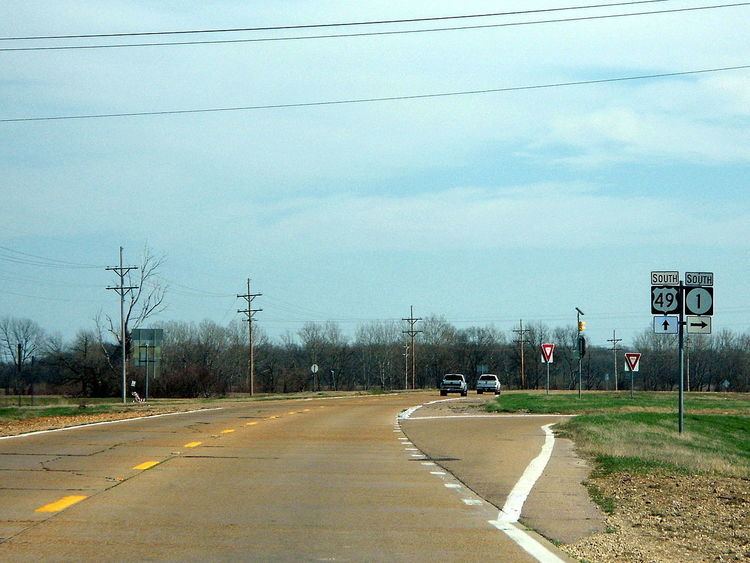
Mississippi Highway 1 (MS 1) runs south from U.S. Highway 49 near Lula to U.S. Highway 61 south of Cary, roughly paralleling the Mississippi River. It travels approximately 148 miles (238 km), serving Sharkey, Issaquena, Washington, Bolivar, and Coahoma Counties. The entire route is part of the Great River Road.
Map of MS-1, Mississippi, USA
References
Mississippi Highway 1 Wikipedia(Text) CC BY-SA