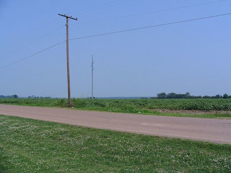
Country United States FIPS code 28-42600 Elevation 55 m Zip code 38644 Local time Tuesday 6:59 PM | Time zone Central (CST) (UTC-6) GNIS feature ID 0672952 Area 110 ha Population 288 (2013) Area code 662 | |
 | ||
Weather 3°C, Wind N at 13 km/h, 70% Humidity | ||
Baldwin lee lula mississippi 1985
Lula is a town in Coahoma County, Mississippi, United States. The population was 298 at the 2010 census, down from 370 in 2000.
Contents
- Baldwin lee lula mississippi 1985
- Map of Lula MS 38644 USA
- Geography
- Demographics
- Education
- History
- Notable people
- References
Map of Lula, MS 38644, USA
Geography
Lula is located near the northern border of Coahoma County at 34°27′13″N 90°28′41″W (34.453499, -90.478075). U.S. Route 49 passes southwest of the town, and U.S. Route 61 passes east of the town. US 49 leads northwest 10 miles (16 km) to Helena, Arkansas, while US 61 leads north 18 miles (29 km) to Tunica. Southbound, the two highways join and lead to Clarksdale, the Coahoma county seat, 20 miles (32 km) south of Lula.
According to the United States Census Bureau, the town has a total area of 0.39 square miles (1.0 km2), all land.
Demographics
As of the census of 2000, there were 370 people, 134 households, and 84 families residing in the town. The population density was 888.3 people per square mile (340.1/km²). There were 142 housing units at an average density of 340.9 per square mile (130.5/km2). The racial makeup of the town was 77.30% African American, 19.73% White, 1.89% Asian, and 1.08% from two or more races.
There were 134 households out of which 28.4% had children under the age of 18 living with them, 32.8% were married couples living together, 25.4% had a female householder with no husband present, and 37.3% were non-families. 35.1% of all households were made up of individuals and 24.6% had someone living alone who was 65 years of age or older. The average household size was 2.76 and the average family size was 3.58.
In the town, the population was spread out with 30.8% under the age of 18, 9.5% from 18 to 24, 22.7% from 25 to 44, 16.8% from 45 to 64, and 20.3% who were 65 years of age or older. The median age was 33 years. For every 100 females there were 93.7 males. For every 100 females age 18 and over, there were 85.5 males.
The median income for a household in the town was $23,125, and the median income for a family was $33,295. Males had a median income of $26,944 versus $19,318 for females. The per capita income for the town was $12,008. About 35.6% of families and 39.3% of the population were below the poverty line, including 59.1% of those under age 18 and 39.2% of those age 65 or over.
Education
The town of Lula is served by the Coahoma County School District. Public schools include Sherard Elementary School, Friars Point Elementary School, Lyon Elementary School, Jonestown Elementary, and Coahoma County High.
History
On April 26, 2011, a tornado - part of the April 25–28, 2011 tornado outbreak - traveled from Elaine, Arkansas, to Lula. The tornado was classified as an EF-0, with estimated wind speeds of 75 mph (121 km/h; 65 kn). The tornado's path of destruction was 200 yards (180 m) wide and the tornado travelled a path of 21.5 miles (34.6 km) along Highway 61. The tornado ripped the roof off a church near Lula.
