Time zone IST (UTC+5:30) Elevation 414 m Population 2,283 (2011) | Demonym(s) Mirkhelkar PIN 431402 Local time Tuesday 6:18 AM Area code 02452 | |
 | ||
Weather 20°C, Wind N at 5 km/h, 32% Humidity | ||
Durkhanai culture show at mengora swat rpt shawkat mirkhel
Mirkhel is a village and railway station in Parbhani taluka of Parbhani district in Indian state of Maharashtra.
Contents
- Durkhanai culture show at mengora swat rpt shawkat mirkhel
- Map of Mirkhel Maharashtra 431402
- Demography
- Mirkhel Railway Station
- Geography and Transport
- References
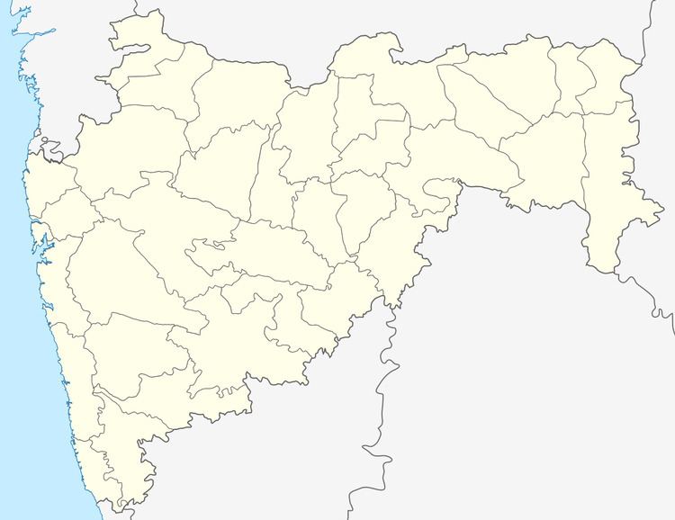
Map of Mirkhel, Maharashtra 431402
Demography
Mirkhel Railway Station
Mirkhel Railway Station is 3 km away from Mirkhel village proper.
Geography and Transport
Following table shows distance of Mirkhel from some of major cities.
References
Mirkhel Wikipedia(Text) CC BY-SA
