
Time zone PST (UTC+5) Area 5 km² Local time Tuesday 4:31 AM Area code 0244 | Union Council Miranpur Council Elevation 13 m Zip code 67331 Population 1,500 (2001) | |
 | ||
Tehsil Naushahro Feroze Tehsil Weather 16°C, Wind SW at 5 km/h, 42% Humidity | ||
Miranpur is a village in Naushahro Feroze, Sindh, Pakistan. The population was 1500 at the 2001 census.
Contents
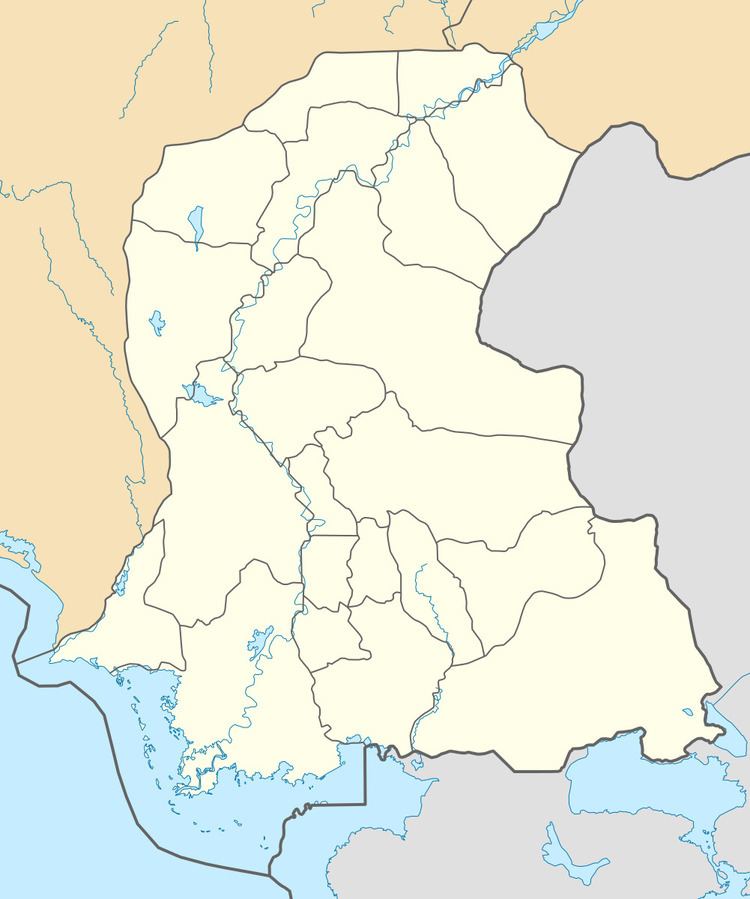
Map of Miranpur, Pakistan
The Miranpur (Sindhi: ميرانپور) a Palh community village and Deh of Union Council Miranpur of Naushahro Feroze District in the Pakistan Province of Sindh. It is a large village of Naushahro Feroze District. This village has basic facilities of rural areas with Basic Health Unit, High School, Primary School. and Post Office.
History
Founded in 1932, the village changed its name to Miranpur in 1936, when many of the settlers came from their surrounded lands.
Geography
Miranpur is located at (68.2698333, 26.7326667).
Religion
Miranpur is predominantly Muslim, Sunni Bravli and Sunni Deobandi.
Notable people
References
Miranpur, Sindh Wikipedia(Text) CC BY-SA