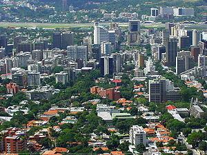
Time zone UTC-04:30 Area 7,950 km² | Created 1909 Area rank 17th | |
 | ||
Colleges and Universities Simón Bolívar University, Universidad Metropolitana, Universidad Santa María, Universidad Alejandro de Humb, Universidad José María Vargas Points of interest Parque del Este, Pico Naiguatá, Altamira, Plaza Francia, Los Chorros Park | ||
Miranda State (Spanish: Estado Miranda, [esˈtaðo miˈɾanda]) is one of the 23 states (estados) of Venezuela and the second most populous after Zulia State. As of the 2011 census, it had a population of 2,675,165 residents. It also has the greatest Human Development Index in Venezuela, according to the Venezuelan National Institute of Statistics (Instituto Nacional de Estadistica, Caracas). The most recent population estimate was 3,194,390 in mid-2016.
Contents
- Map of Miranda Venezuela
- Municipalities and municipal seats
- Other important towns
- Race and ethnicity
- References
Map of Miranda, Venezuela
Miranda is an important center for political, economic, cultural and commercial activities. The state is administered by a governor, and is sub-divided into 21 municipalities, each under a mayor.
Miranda State covers a total surface area of 7,950 km².
Municipalities and municipal seats
Miranda State is sub-divided into 21 municipalities, given below with their administrative centres, areas and populations:
Other important towns
Race and ethnicity
According to the 2011 Census, the racial composition of the population was:
