
Formed 1999 Website www.town.minto.on.ca Elevation 334 m Local time Monday 12:27 PM Area code Area codes 519 and 226 | Time zone EST (UTC-5) Area 2.9 km² Population 8,334 (2011) | |
 | ||
Postal code N0G 2P0N0G 1Z0N0G 1M0 Weather -10°C, Wind SE at 6 km/h, 50% Humidity | ||
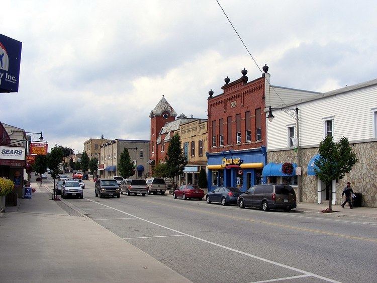
Minto is a town in midwestern Ontario, Canada, on the Maitland River in Wellington County. Minto is the western terminus of Highway 9. It is named for Gilbert Elliot-Murray-Kynynmound, 4th Earl of Minto; 8th Governor General of Canada.
Contents
- Map of Minto ON Canada
- 6496 12th line minto ontario c 1988 2016 axiom film video productions
- Communities
- Demographics
- Sports
- Education
- References
Map of Minto, ON, Canada
The Town of Minto was formed in 1999 through the amalgamation of the Township of Minto, the Towns of Harriston and Palmerston, along with the Village of Clifford.
6496 12th line minto ontario c 1988 2016 axiom film video productions
Communities
Demographics
Population trend:
Sports
Education
Minto's schools are governed by the Upper Grand District School Board.
References
Minto, Ontario Wikipedia(Text) CC BY-SA