
Counties: Rock | Length 12.33 km | |
 | ||
Existed: July 1, 1949 (1949-07-01) – present | ||
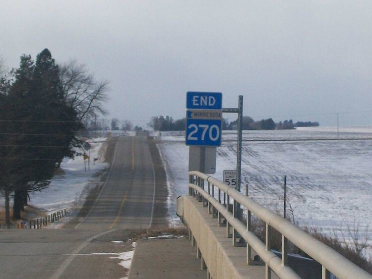
Minnesota State Highway 270 (MN 270) is a state highway in the southwest corner of Minnesota, which runs from its intersection with County Road 13 (CR 13) in the city of Hills, and continues east to its eastern terminus at its intersection with U.S. Highway 75 (US 75) in Clinton Township, eight miles (13 km) south of Luverne. The highway is 7.7 miles (12.4 km) in length.
Contents
Map of MN-270, Steen, MN 56173, USA
Route description
MN 270 serves as a short east–west route in southwest Minnesota between Hills and US 75. Its route follows 1st Street in Hills. The western terminus of Highway 270 at Hills is located approximately four miles (6.4 km) from the South Dakota state line and two miles (3.2 km) from the Iowa state line. The highway is legally defined as Route 270 in the Minnesota Statutes.
History
MN 270 was authorized in 1949. Originally, the highway turned southward along present-day CR 11 and back east on a local road to pass through Steen. It was moved to its present direct routing in 1953.
The route was paved in 1954 or 1955.
Major intersections
The entire route is in Rock County.