
Time zone China Standard (UTC+8) Area 1,780 km² Area code 0972 | Postal code 810800 | |
 | ||
Minhe mangghuer tu folksongs from minhe hui and tu autonomous county qinghai china
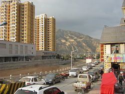
Minhe Hui and Tu Autonomous County (simplified Chinese: 民和回族土族自治县; traditional Chinese: 民和回族土族自治縣; pinyin: Mínhé Huízú Tǔzú Zìzhìxiàn; Xiao'erjing: مٍهْ خُوِذُو تُوذُو ذِجِشِیًا) is the easternmost county in Qinghai Province, China. It is under the administration of Haidong (lit. Eastern Qinghai) Region. "Hui" refers to the Chinese Muslims, whereas "Tu" refers to the ethnic group known as “Monguor” in the West and as "Tu Zu" in China. It borders the Honggu District of Gansu on the east, demarcated by the Datong River, a tributary to the Huangshui River, which eventually flows into the Yellow River.
Contents
- Minhe mangghuer tu folksongs from minhe hui and tu autonomous county qinghai china
- Map of Minhe Haidong Qinghai China
- References
Map of Minhe, Haidong, Qinghai, China
The County is multi-ethnic and significant to not only holding the most densely populated Tu Zu settlement in Sanchuan/Guanting in its southeastern portion, but also as the homeland of the legendary Emperor Yü the Great, who established the Xia Dynasty (2070-1600 BC), the first ever recorded dynasty in the ancient Chinese history based on recent archaeological discoveries.