
Country United States Area code(s) 304 & 681 Elevation 806 m | Time zone Eastern (EST) (UTC-5) GNIS feature ID 1552161 Local time Sunday 9:28 PM | |
 | ||
Weather -4°C, Wind E at 3 km/h, 42% Humidity | ||
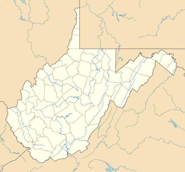
Mingo — sometimes known as Mingo Flats — is an unincorporated community in Randolph County, West Virginia, USA. It is located on U.S. Route 219 15.5 miles (24.9 km) south-southwest of Huttonsville. It is named for the historic Iroquoian Mingo people.
Map of Mingo, WV 26294, USA
The community was named after the Mingo Indians.
References
Mingo, West Virginia Wikipedia(Text) CC BY-SA