
Time zone MMT (UTC+6.30) Local time Monday 4:36 AM | Township Minbya Township Area code(s) 42, 43 | |
 | ||
Weather 22°C, Wind NE at 3 km/h, 96% Humidity Neighborhoods Barkhan Sub, Usawtin Sub, Bottom Sub, Zee Hong Sub, Middle Sub, Mountain Sub, Zee Chay Sub | ||
Rakhine minbya wedding amk nwe oo khin
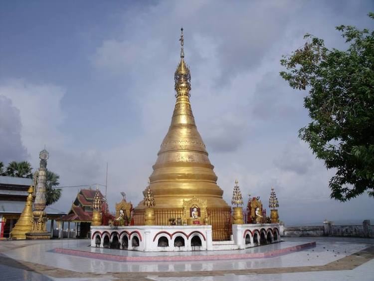
Minbya (Burmese: မင်းပြားမြို့, [mɪ́ɴbjá mjo̰]) is a town in Rakhine State, in the westernmost part of Myanmar (Burma). It is located along the Lay Myo River and foothill of Kyein Range. Kyein Taung Pagoda is one of the prominent Pagoda in Rakhine State. Ramaung Bridge is also well-known.Minbya is convenient in transportation as Sittwe-Yangon high-way road lies near Minbya. Ga Rim Gian is a nice place to visit with the pleasant sights.
Contents
- Rakhine minbya wedding amk nwe oo khin
- Map of Minbya Myanmar Burma
- Education
- Natural disasters
- References
Map of Minbya, Myanmar (Burma)
Education
BEHS Minbya is the one of the high schools in the town. Another two post- Middle schools.
Natural disasters
On 15 June 2010, strong rains destroyed more than 25 buildings, including houses, school buildings, and a mosque. Close to 200 people were housed in mosques of several nearby villages.
On 12 November 2011, all 567 permanent shops of the Minbya central market were destroyed in a fire accident.
During the last weekend of July 2105, there was a heavy rain and cause the flooding and then this situation was worse as the Cyclone Komen hit the Arakan Coastal on 30 July. It caused great damages in urban and rural area. Many farms were destroyed. After flooding, many civil charity group were came to aid the rural residents. This flooding was also taking place in Mrauk-Oo, Kyauk Taw townships.