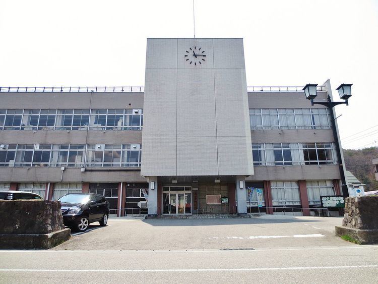
Area 886.5 km² Local time Monday 6:30 AM | Phone number 0241-62-6100 Population 16,516 (Sep 2014) | |
 | ||
Weather -3°C, Wind S at 6 km/h, 85% Humidity Points of interest Aizukogen Takatsue Ski Area, Aizukogen Nango Ski Area, Yunohana Hot Spring, Aizukogen Takahata Ski Area, Aizukogen Daikura Ski Area | ||
Minamiaizu (南会津町, Minamiaizu-machi) is a town located in Minamiaizu District, Fukushima Prefecture, in northern Honshū, Japan. As of September 2014, the town had an estimated population of 16,516 and a population density of 18.6 persons per km². The total area was 886.52 km².
Contents
- Map of Minamiaizu Minamiaizu District Fukushima Prefecture Japan
- Geography
- Neighboring municipalities
- History
- Economy
- Education
- Railway
- Highway
- Local attractions
- Noted people from Minamiaizu
- References
Map of Minamiaizu, Minamiaizu District, Fukushima Prefecture, Japan
Geography
MInamiaizu is located in the mountainous southern portion of the Aizu region of Fukushima Prefecture, bordered Tochigi Prefecture to the south. The climate is like many other parts of northern Japan, with cold winters and heavy snowfalls.
Neighboring municipalities
History
The area of present-day Minamiaizu was part of ancient Mutsu Province and formed part of the holdings of Aizu Domain during the Edo period. After the Meiji Restoration, it was organized as part of Minamiaizu District.
Minamiaizu was formed on March 20, 2006 by the merging of Tajima (the largest town in Minamiaizu District) with the villages of Ina, Nangō, and Tateiwa to form a new administrative township.
Economy
The economy of Minamiaizu is primarily agricultural. Rice, tomatoes and asparagus are the main crops.
