
Population 534 (in 2011) Civil parish Milton Lilbourne Local time Thursday 12:18 AM Dialling code 01672 UK parliament constituency Devizes | OS grid reference SU190604 Unitary authority | |
 | ||
Weather 2°C, Wind N at 5 km/h, 92% Humidity | ||
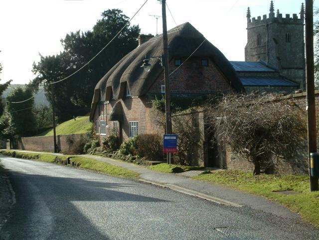
Milton Lilbourne is a village and civil parish in the county of Wiltshire, England, in the Vale of Pewsey between Pewsey and Burbage. It is largely a mixed residential area centred on the Manor. The nearest town is Marlborough, 5.5 miles (8.9 km) to the north.
Contents
Map of Milton Lilbourne, Pewsey, UK
The parish includes the following hamlets:
The parish is unusual in that it has a long thin shape and is one of the few to have boundaries on the uplands to both south and north of the Vale. The southern boundary passes by a long barrow and the northern one abuts the prehistoric fort on Martinsell Hill.
History
The parish contains several prehistoric features including the Giants Grave to the south (a Neolithic long barrow) and a Bronze Age Barrow Cemetery at Milton Hill Farm.
"Milton" in the village's name probably derives from its position as "middle tun" between Pewsey and Easton Royal, the "east tun". "Lilbourne" is from Lillebonne, the surname of lords of the manor.
Buildings
The Manor House dates from c.1710 and is Grade II* listed.
The Anglican Church of St Peter may have origins in the 12th century; it was restored in 1875 by J. L. Pearson and is also Grade II* listed.
Transport
The Kennet and Avon Canal crosses the parish, using the Avon valley. The Reading to Taunton railway follows the same route; the nearest station is Pewsey. From 1928 to 1966 there was a halt at Wootton Rivers, a short distance outside the parish.
Amenities
The nearest shops are in Pewsey, about 2 miles (3.2 km) away.
Facilities include the Village Hall with its playing fields. On the Pewsey-Burbage road in the area known as Little Salisbury stood the Three Horse Shoes pub, closed in 2009.