Prominence 76 m (249 ft) Topo map OS Landranger 173 Parent range Walbury Hill | Listing Tump OS grid SU178638 Elevation 289 m | |
 | ||
Huish to martinsell hill ride
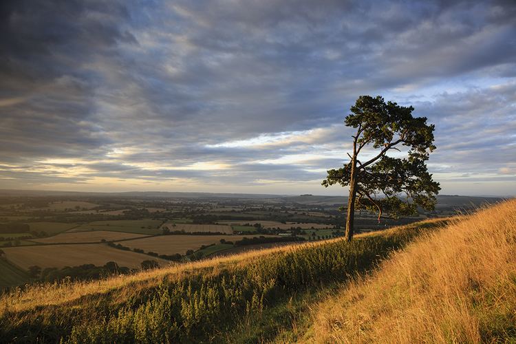
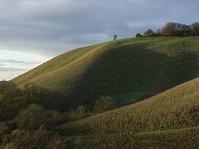
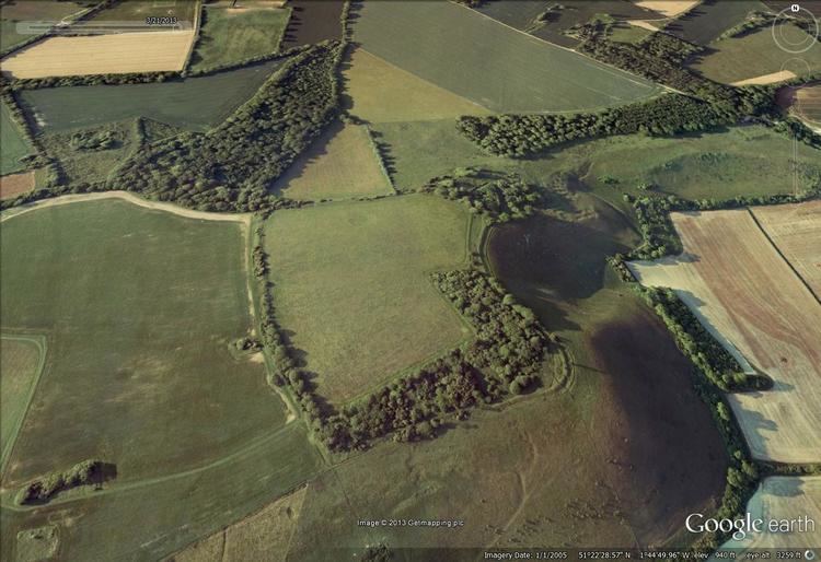
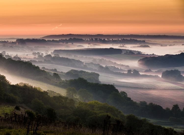
Martinsell Hill, located near Oare north of Pewsey, is the third highest point in the county of Wiltshire, southwest England, at some 289 m / 948 ft above sea level. It is the location of an Iron Age hillfort.
Contents
Martinsell hill
Location
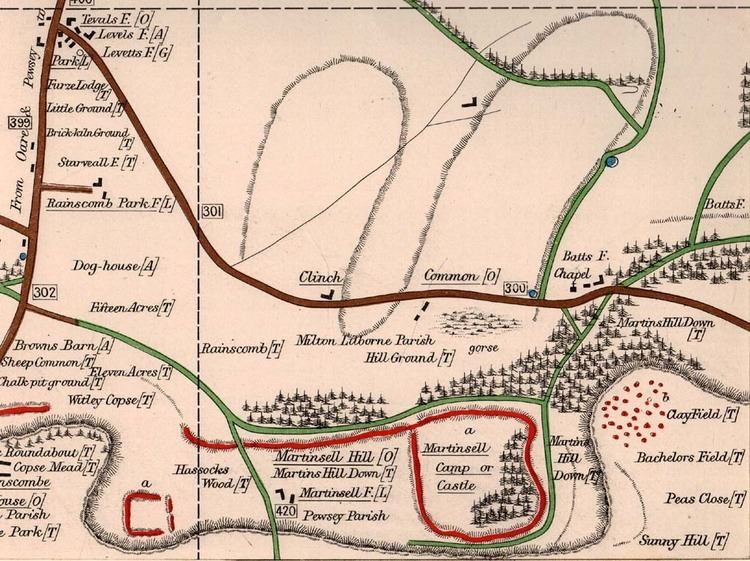
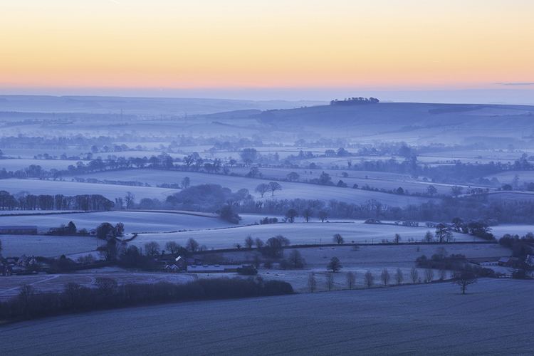
Martinsell Hill rises about 2km east-northeast of the village of Oare, 2km northwest of the village of Wootton Rivers, and about 4km north-northeast of the town of Pewsey. The hill is part of an east-west ridge on the northern flanks of the Vale of Pewsey and overlooks the Salisbury Avon and the Kennet & Avon Canal. The Mid Wilts Way runs along the back of the ridge. There is a trig point at the top. To the west are Oare Hill and the grounds of Rainscombe House.
There are good views from the top, including Salisbury Cathedral, over 25 miles away.
Fort
At the summit is an Iron Age univallate hillfort of 32 acres (13 ha) with a clearly visible bank and ditch system. The entrance appears to be to the northeast where there is also a ditch. The fort is the second highest prehistoric camp in Wiltshire.
The hillfort is a scheduled ancient monument and was partially excavated by Colt Hoare.