
Local time Wednesday 5:25 PM | ||
 | ||
Weather 1°C, Wind SE at 24 km/h, 71% Humidity | ||
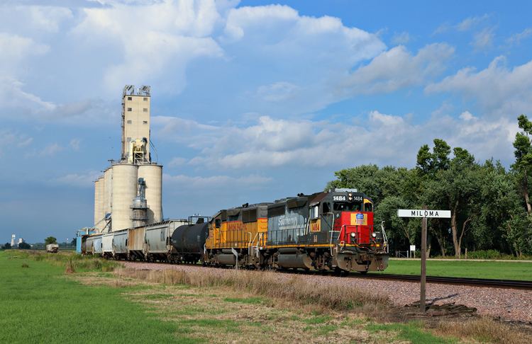
Miloma is an unincorporated community (Class Code U6) located in Jackson County, Minnesota, United States at latitude 43.763 and longitude -95.368 (Miloma Panoramio Photos). The elevation is 1,427 feet. Miloma appears on the Heron Lake U.S. Geological Survey Map.
Contents
Map of Miloma, La Crosse Township, MN 56137, USA
History
Miloma was originally called Prairie Junction, and under the latter name was founded in about 1879 when the railroad was extended to that point. The present name of the community is a double contraction, Milwaukee and Omaha, from the names of two railroads, the Chicago, Milwaukee & Saint Paul and the Chicago, Minneapolis & Omaha. A post office was established under the name Prairie Junction in 1881, the name was changed to Miloma in 1906, and the post office closed in 1930.
References
Miloma, Minnesota Wikipedia(Text) CC BY-SA