
NRHP Reference # 04000854 Designated VLR June 16, 2004 Year built 1864 | VLR # 093-5023 Area 2.833 km² Added to NRHP 11 August 2004 | |
 | ||
Architectural style Mid 19th Century Revival MPS Civil War in Virginia MPS | ||
Milford Battlefield is situated in Overall, Virginia in Warren County and Page County, Virginia. It was the site of a battle on September 22–24 during the Valley Campaigns of 1864 in the American Civil War. The site is located on property now privately owned.
Contents
The battle
Of the several military engagements that took place at Milford (present-day Overall) during the War, the most significant occurred on September 22, 1864. This engagement is associated specifically with Union Maj. Gen. Philip Sheridan's victory over Confederate Maj. Gen. Jubal Early at Winchester on September 19, Early's retreat south up the Shenandoah Valley and Sheridan's pursuit, and Early's subsequent stand and defeat by Sheridan at Fisher’s Hill on September 21.
The action at Milford the following day occurred because Early had posted forces there to protect his right flank and rear at Fisher's Hill (about a dozen miles northwest of Milford), and Federal troops en route to attack Early’s flank assaulted the forces at Milford. The Confederates held their ground, thereby preventing the flank attack. Meanwhile, in the principal action at Fisher's Hill, Sheridan routed Early's army. The Milford engagement is considered locally significant.
Other actions occurred at or near Milford during the War. They included cavalry engagements on June 24, 1862, in early May 1864, and on October 25–26, 1864. In addition, Union and Confederate troops camped or bivouacked there at various times during the war.
The site today
Milford Battlefield contains about seven hundred acres of mostly hilly terrain between the South Fork of the Shenandoah River on the west and the Blue Ridge Mountains on the east. The site is privately owned.
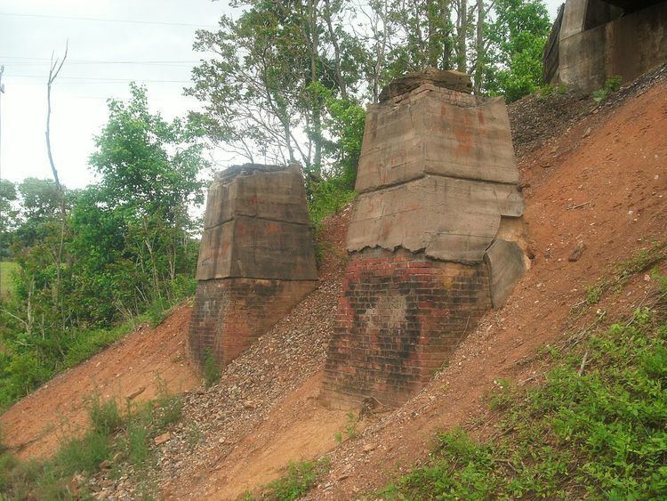
At the time of the Civil War, the land was less wooded than at present, but apart from that the terrain is not much different. Recent signs of human activity on the landscape are mostly limited to a highway (U.S. Route 340), a railroad track, and some scattered dwellings and related structures that do not adversely affect the ability to understand the course of the engagements that occurred there during the war. The Page Valley narrows at Overall, which together with the turnpike made the site strategically important during the war. The site includes such battle-related contributing features as entrenchments and rifle pits. The battlefield district includes three contributing sites (the Overall House ruin, a historic cemetery, and a historic turnpike bridge abutment) and thirteen contributing structures (U.S. Route 340 which at the time was called the Luray and Front Royal Turnpike, one historic road trace, Overall House cistern, Overall House well, seven rifle pits, and two earthworks).
It was listed on the National Register of Historic Places in 2004.