
Coat of arms Flag Town Mikhaylovsk Local time Wednesday 8:32 AM | Area 21 km² | |
 | ||
Weather 0°C, Wind NW at 32 km/h, 100% Humidity | ||
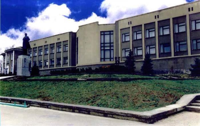
Mikhaylovsk (Russian: Миха́йловск) is a town and the administrative center of Shpakovsky District in Stavropol Krai, Russia, located along the Tashla River, 10 kilometers (6.2 mi) northeast of Stavropol, the administrative center of the krai. Population: 70,981 (2010 Census); 58,153 (2002 Census); 42,993 (1989 Census).
Contents
- Map of Mikhaylovsk Stavropol Krai Russia
- History
- Administrative and municipal status
- Economy
- Transportation
- Demographics
- References
Map of Mikhaylovsk, Stavropol Krai, Russia
History
It was founded in 1784 as the village of Mikhaylovskoye (Миха́йловское) and later became a Cossack stanitsa. In 1870, it lost its military significance and was demoted back to rural status. In 1963, it was renamed Shpakovskoye (Шпа́ковское). It was granted town status and given its present name in 1999.
Administrative and municipal status
Within the framework of administrative divisions, Mikhaylovsk serves as the administrative center of Shpakovsky District. As an administrative division, it is, together with three rural localities, incorporated within Shpakovsky District as the Town of Mikhaylovsk. As a municipal division, the Town of Mikhaylovsk is incorporated within Shpakovsky Municipal District as Mikhaylovsk Urban Settlement.
Economy
The following industrial enterprises operate in the town:
Transportation
Pelagiada railway station is located within the town; with directions to Elista, Stavropol, and Kavkazskaya railway station.