
Time zone UTC -3 Dial plan +598 4317 (+4 digits) Population 2,109 (2011) | Postal code 91004 Local time Tuesday 10:34 PM | |
 | ||
Weather 19°C, Wind E at 18 km/h, 80% Humidity | ||
Migues is a small city in the Canelones Department of southern Uruguay.
Contents
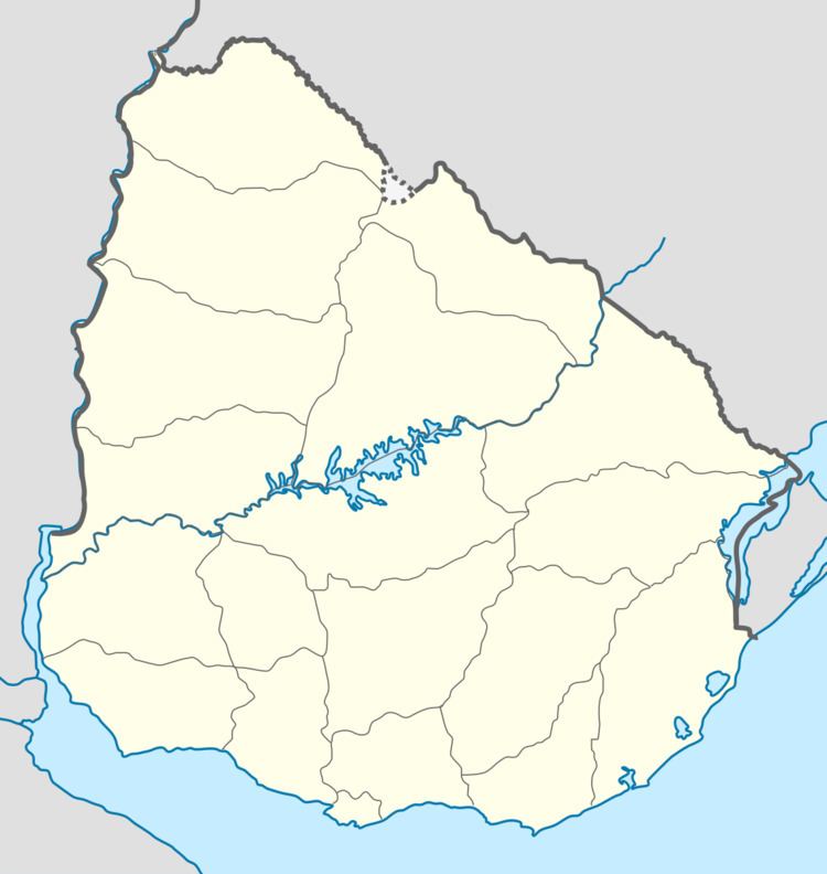
Map of Migues, Canelones Department, Uruguay
Migues is also the name of the municipality to which the town belongs.
Location
The city is located on the intersection of Route 80 with Routes 81, 88 and 108, about 22 kilometres (14 mi) southeast of Tala and 6.5 kilometres (4.0 mi) west of Montes.
History
On 27 June 1870, a "Pueblo" (village) named "Carmen" was created by the Act of Ley Nº 1.112 on the land belonging to Nicasia Figueredo de Migues, between two streams of the Solís river. It probably corresponds to the village eventually named "Migues". On 15 May 1925, its status was elevated to "Villa" (town) by the Act of Ley Nº 7.837. On 26 June 1970, its status was further elevated to "Ciudad" (city) by the Act of Ley Nº 13.866.
Population
According to the 2011 census, Migues had a population of 2,109. In 2010, the Intendencia de Canelones had estimated a population of 3,720 for the municipality during the elections.
Source: Instituto Nacional de Estadística de Uruguay