
Area 55.88 km² Local time Wednesday 12:04 AM | Time zone EET (UTC+2) Population 5,554 (2011) | |
 | ||
Weather 7°C, Wind E at 11 km/h, 87% Humidity | ||
Tg mures miercurea nirajului neaua viforoasa sovata
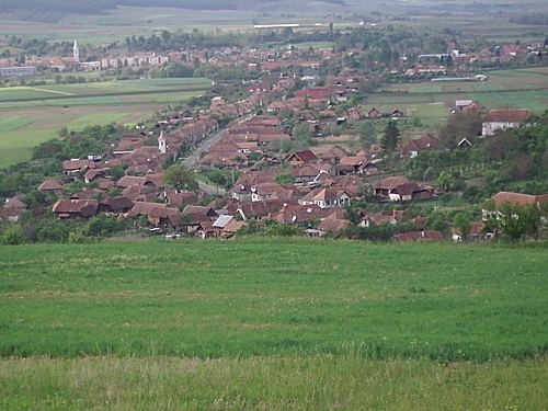
Miercurea Nirajului (Hungarian: Nyárádszereda, [ˈɲaːraːt͡sːɛrɛdɒ]) is a town in Mureș County, Romania. It lies in the Székely Land, an ethno-cultural region in eastern Transylvania.
Contents
- Tg mures miercurea nirajului neaua viforoasa sovata
- Map of Miercurea Nirajului 547410 Romania
- History
- Demographics
- References
Map of Miercurea Nirajului 547410, Romania
The following seven villages are administered by the town:
History
It formed part of the Székely Land region of the historical Transylvania province.
Its first written mention is from 1493 as Oppidum Zereda. István Bocskay was elected here for prince of Transylvania in 1604.
Until 1918, the town belonged to the Maros-Torda County of the Kingdom of Hungary. After the Treaty of Trianon of 1920, it became part of Romania.
Demographics
The commune has a Székely Hungarian majority. According to the 2011 census, it has a population of 5,554 of which 83.3% are Hungarian, 10.4% Romanians and 6.3% Roma.