
Country United States Time zone CST (UTC-6) Elevation 193 m Local time Tuesday 11:07 AM | Established November 6, 1855 ZIP codes 60951, 60966, 60970 Area 94.48 km² Population 4,375 (2010) | |
 | ||
Weather 9°C, Wind N at 14 km/h, 55% Humidity | ||
Middleport Township is one of twenty-six townships in Iroquois County, Illinois, USA. As of the 2010 census, its population was 4,375 and it contained 2,099 housing units. Middleport Township changed its name to Watseka Township in September 1863, but then changed back to Middleport Township on an unknown date.
Contents
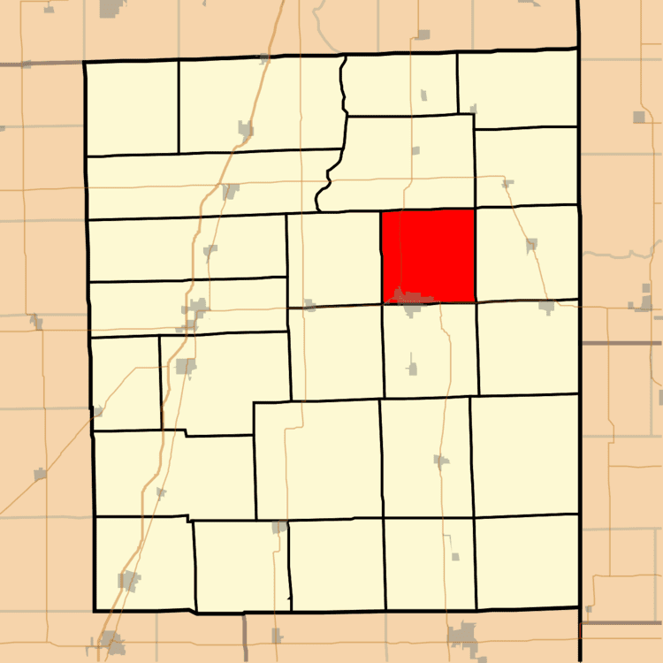
- Map of Middleport Township IL USA
- Geography
- Cities towns villages
- Unincorporated towns
- Cemeteries
- Major highways
- Airports and landing strips
- Landmarks
- School districts
- Political districts
- References
Map of Middleport Township, IL, USA
Geography
According to the 2010 census, the township has a total area of 36.48 square miles (94.5 km2), of which 36.39 square miles (94.2 km2) (or 99.75%) is land and 0.09 square miles (0.23 km2) (or 0.25%) is water.
Cities, towns, villages
Unincorporated towns
Cemeteries
The township contains these five cemeteries: Chamberlain, Gard Army of the Republic, Lyman, Oak Hill and Roberts.
Major highways
Airports and landing strips
Landmarks
School districts
Political districts
References
Middleport Township, Iroquois County, Illinois Wikipedia(Text) CC BY-SA