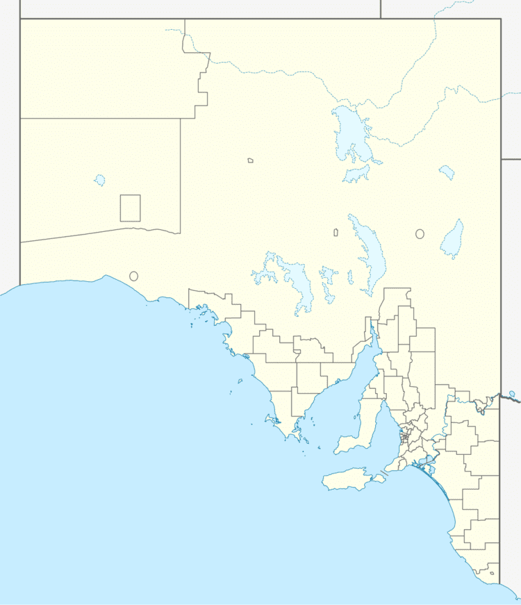
Established 2013 Time zone ACST (UTC+9:30) Mean max temp Mean min temp Postal code 5600 | Postcode(s) 5600 Founded 2013 | |
 | ||
Location 35 km (22 mi) south-west of Whyalla247.3 km (154 mi) north-west of Adelaide city centre | ||
Middleback Range is a locality in the Australian state of South Australia located in the north east corner of Eyre Peninsula to the south-west of the city of Whyalla and extending from the coastline of Spencer Gulf in the east to the west side of the southern end of the Middleback Range in the west.
Map of Middleback Range SA 5600, Australia
Its boundaries were created on 26 April 2013 while its name which is ultimately derived from the mountain range of the same name reflects the use of a “long established local name.” Its boundaries were again adjusted in 2014 in association with the creation of the new locality of Cultana.
Middleback Range is located within the federal Division of Grey, the state electoral district of Giles and with part of its eastern side being within the boundary of local government area of the City of Whyalla and the western side being within the unincorporated area of South Australia. The Lincoln Highway passes through the locality on its way from the city of Whyalla to the city of Port Lincoln.
