
Country Netherlands Time zone CET (UTC+1) Population 3,163 (2007) Number of airports 1 | Demonym(s) mixed Postal code 1775 Local time Tuesday 3:04 PM | |
 | ||
Weather 9°C, Wind W at 27 km/h, 56% Humidity | ||
Middenmeer is a town in the Dutch province of North Holland. It is part of the municipality of Hollands Kroon, and lies about 18 km north of Hoorn.
Contents
Map of Middenmeer, Netherlands
Middenmeer was established in 1932 under the name of Sluis III. Nearby the village was a military airfield Middenmeer in WO II used by the Ie Verkenningsgroep of the Royal Netherlands Air Force. Now Middenmeer has an airfield for light and ultra light airplanes, Middenmeer Aerodrome.
On July 1, 1941, the Wieringermeer became a municipality and its first mayor was ir. S. Smeding.
On April 17, 1945, the dikes of the Wieringermeer polder were blown up by the German occupying forces and the Wieringermeer was inundated. Middenmeer as well as neighboring villages had to be evacuated.
On December 11, 1945 the polder was dry again. In Middenmeer started the first Moedermavo (School for mothers) of the Netherlands, a school for women.
People
Sicco Mansholt was mayor in 1945 for some weeks.
In 2001, the town of Middenmeer had 2805 inhabitants. The built-up area of the town was 0.82 km², and contained 1193 residences. The wider statistical area of Middenmeer has a population of around 3210.
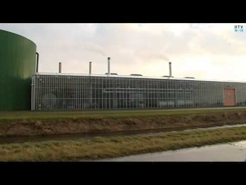
Industry
Microsoft is building a major new datacenter in the Wierengermeer polder near Middenmeer. Long-term employment may exceed 300 people.