
Airport type Public 16/34 5,711 Elevation 582 m | Elevation AMSL 1,909 ft / 582 m Code PSB Phone +1 814-342-3897 | |
 | ||
Owner Mid-State Regional Airport Authority Address 451 Airport Rd, Philipsburg, PA 16866, USA Similar Black Moshann State Park, University Park Airport, Nittany Express Inc, Happy Valley RIDE Taxi, Best Line Equipment / Bobcat o | ||
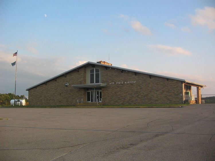
Mid-State Regional Airport (ICAO: KPSB, FAA LID: PSB) (Mid-State Airport) is a small airport in Rush Township, Centre County in Pennsylvania. It is located between Black Moshannon State Park to the east and Moshannon State Forest.
Contents
The airport is 9 miles (14 km) east of Philipsburg, 5 miles (8.0 km) from U.S. Route 322 and 10 miles (16 km) from Interstate 80.
History
"Black Moshannon Airport" was built on land taken from Black Moshannon State Park and Moshannon State Forest just prior to the Second World War, and was operational by 1942, hosting a Civil Air Patrol training exercise for nearly 300 planes on May 30, 1942. It was renamed "Mid-State Airport" in 1962.
The airport is 20 miles (32 km) from State College and Pennsylvania State University, and until the 1970s it was served by Allegheny Airlines (now US Airways). Over 75% of the airport's passengers were from the State College and Bellefonte area. After the new University Park Airport, owned by Penn State, opened in 1972, Allegheny Airlines gradually switched from Mid-State to University Park. Today there is no scheduled airline service to Mid-State Regional Airport.
As of 2008 the name is "Mid-State Regional Airport" and it has been designated a Keystone Opportunity Zone (KOZ). The KOZ portion of the airport is on 484 acres (1.96 km2) to encourage business growth and is designated a KOZ through December 31, 2010. However, there are limitations in state law that prohibit any further development on park or forest lands.
Facilities
Mid-State Airport covers 500 acres (2.0 km2) and has two asphalt runways: 16/34 is 5,711 x 100 ft (1,741 x 30 m) and 6/24 is 5,006 x 100 ft (1,526 x 30 m). In the year ending June 30, 2007 the airport had 2,550 aircraft operations: 98% general aviation and 2% military. Two aircraft are based at the airport.
There are five taxiways: A, B, C, D and E. Runway 16/34 is connected to the airport ramp by the 69-foot (21 m) wide taxiway A, as well as the 50-foot (15 m) wide taxiways D and E. Both D and E connect to the east side of the runway, with D leading to the large hangar and E to the smaller T-hangar. Runway 6/24 is connected to the airport ramp by the 96-foot (29 m) wide taxiway B, and the 50-foot (15 m) wide taxiway C at the 24-end of the runway. All of the taxiways are asphalt except for E, which is turf for the last 240 feet (73 m) before the runway.
Other Users
Based at Mid-State Regional Airport is the Civil Air Patrol Mid-State Composite Squadron 239. The Pennsylvania Bureau of Forestry bases a fire fighting aircraft at the airport during forest fire season.
The Central Pennsylvania Region Sports Car Club of America also hold autocross races at the airport. The airport remains active during the races; when an aircraft wishes to land, the race will be suspended, the aircraft will land, and racing will resume. This is possible due to the nature of autocross racing, where one car is on the course at a time.