
Elevation 430 m (1,410 ft) Area 239 ha Local time Tuesday 1:45 AM Dialling code 06761 | Time zone CET/CEST (UTC+1/+2) Postal code 56288 Population 165 (31 Dec 2008) | |
 | ||
Weather 9°C, Wind SW at 19 km/h, 75% Humidity | ||
Michelbach is an Ortsgemeinde – a municipality belonging to a Verbandsgemeinde, a kind of collective municipality – in the Rhein-Hunsrück-Kreis (district) in Rhineland-Palatinate, Germany. It belongs to the Verbandsgemeinde of Kastellaun, whose seat is in the like-named town.
Contents
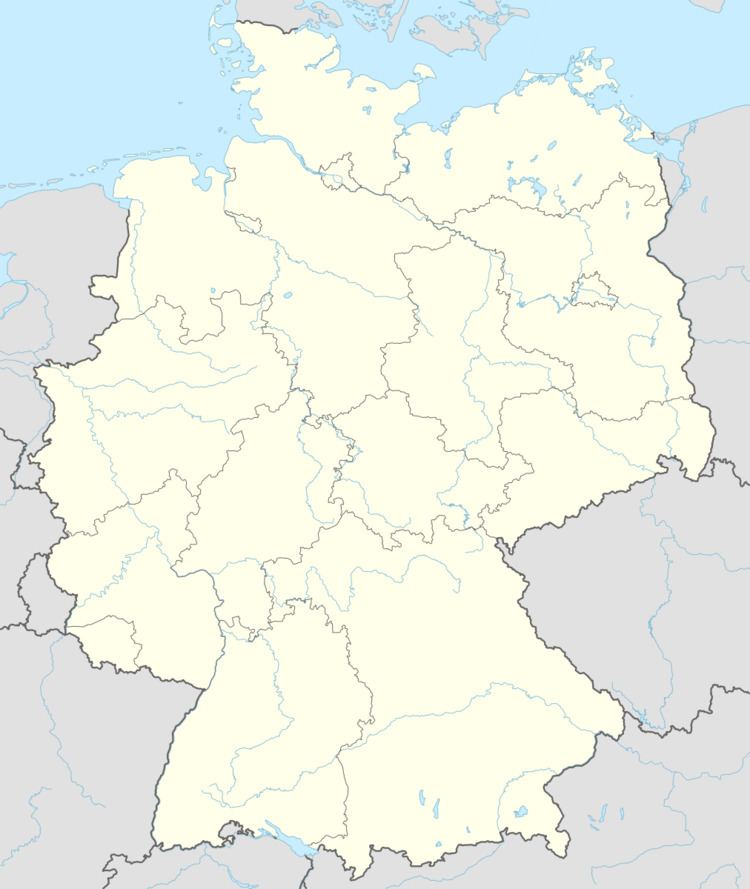
Map of Michelbach, Germany
Location
The municipality lies in the Hunsrück on a hilltop among fields and meadows at an average elevation of 430 m above sea level between the Külzbach and Bieberbach valleys. The municipal area measures 2.39 km² of which 76% is given over to agricultural uses and 12% each is built up or wooded.
History
Beginning in 1794, Michelbach lay under French rule. In 1814 it was assigned to the Kingdom of Prussia at the Congress of Vienna.
In 1850, the clergyman Bartels from Alterkülz founded a boys’ home in Michelbach, and in 1851 it was moved to the wetlands between Simmern and Nannhausen, where the first building of the Schmiedelanstalten (“Wetland Institutes”) was built. On 13 September 1851 it was dedicated with one housefather and twelve boys.
Since 1946, Michelbach has been part of the then newly founded state of Rhineland-Palatinate.
Municipal council
The council is made up of 6 council members, who were elected by majority vote at the municipal election held on 7 June 2009, and the honorary mayor as chairman.
Mayor
Michelbach’s mayor is Hans Jürgen Härter.