
Regional unit Kefalonia Time zone EET (UTC+2) Elevation 480 m Area code 26710 | Postal code 281 00 Local time Tuesday 1:00 AM Municipality Cephalonia | |
 | ||
Weather 9°C, Wind W at 0 km/h, 87% Humidity | ||
Michata (Greek: Μιχάτα) is a village in the municipal unit of Omala on the island of Kefalonia, Greece. It is situated on a hillside at the western foot of Mount Ainos. It is 1 km north of Epanochori, 1 km southeast of Valsamata and 10 km east of Argostoli. The village was severely damaged by the 1953 Ionian earthquake.
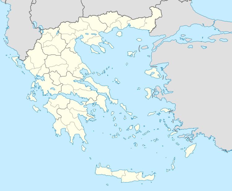
Map of Michata 281 00, Greece
References
Michata Wikipedia(Text) CC BY-SA