
Postal code 281 00 Elevation 400 m Area code 26710 | Time zone EET (UTC+2) Vehicle registration ΚΕ Local time Friday 12:18 PM Municipality Cephalonia Regional unit Cephalonia | |
 | ||
Weather 17°C, Wind NW at 0 km/h, 62% Humidity | ||
Omala (Greek: Ομαλά) is a former community on the island of Kefalonia, Ionian Islands, Greece. Since the 2011 local government reform it is part of the municipality Kefalonia, of which it is a municipal unit. It is located in the south-central part of the island. Its land area is 46.699 km² and its population was 840 inhabitants at the 2011 census. The seat of the community was Valsamata, the only significant town (pop. 763). Its next largest settlements are Epanochori (33), and Michata (25).
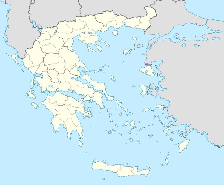
Map of Omala 281 00, Greece
References
Omala, Greece Wikipedia(Text) CC BY-SA