
Country Language spoken | State District | |
Mhasla is a census town in Raigad district in the Indian state of Maharashtra.
Contents
- Map of Mhasla
- Demographics
- Farmland mhasla taluka 100 acres
- Mhasla 25 acres hill station
- Geography
- References
Map of Mhasla
Demographics
As of 2001 India census, Mhasla had a population of 8,762. It is one hour away from the Mumbai-Goa Highway and 3 hours (190 km) from Mumbai. Mhasla is a hindu-dominated Town. Males constitute 49% of the population and females 51%. Mhasla has an average literacy rate of 73%, higher than the national average of 59.5%: male literacy is 76%, and female literacy is 70%. 15% of the population is under 6 years of age. hindu comprise 80% of the population. Many males work in the mumbai pune. Staple crops include Alphonso mangoes, cashews, coconuts, and supari.
Mhasla is a growing town in the Raigad district. It is almost 80% under construction. All of the old buildings have been renovated. New buildings include Center One Plaza Shopping Center, Ghansar Commercial Complex, Sanabil Apartments, Blue Star Shopping Center, Noble Store, Sreedevi Bakery, Asma Residence. Many new and famous residential buildings include Mumtaz Complex, Z Complex Safia Manzil and Chogle complex.shreee krushna dairy, hotel swapnil/ laxmi vilas hotel/ anil bakery, karnik vadapav center and ruchi hotel locate on main place in mhasla these are famous shop in mhasla A part of this Mhasla is the commercial hub for many peoples around many villages. The inhabitants speak in Kokani language.
Educational Centers:
1- New English School (Marathi Medium) 2- Kanya Shala. 3- Vasantrao Naik College. 4- Ideal English High School. 5- Anjuman E Islam Janjira D ed. College. 7-Anjuman E Islam Janjira Jounier college of Arts, Science & Commerce. 8- Urdu Primary School. 9- Shahin High School. 10- Anjuman E Islam Janjira High School. 11-IQRA International School
Farmland mhasla taluka 100 acres
Mhasla 25 acres hill station
Geography
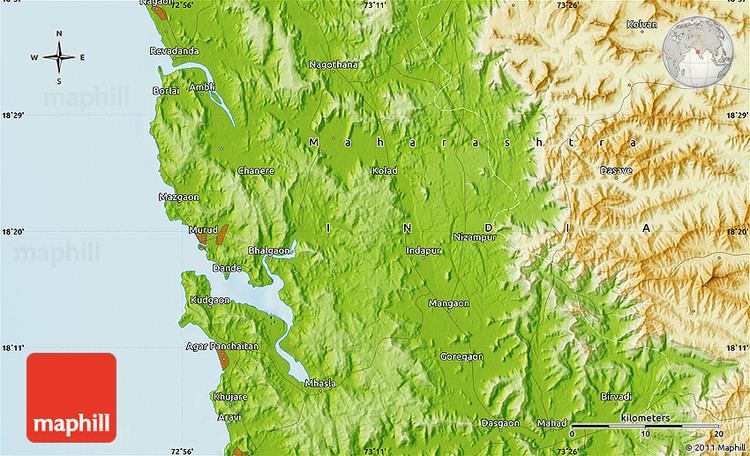
Mhasla is located at 18.13°N 73.12°E? / 18.13; 73.12. It has an average elevation of 93 metres (305 feet).