
OS grid SE 0440 7042 Elevation 575 m | Topo map OS Landranger 98 Prominence 36 m Listing Dewey | |
 | ||
Similar Great Whernside, Sharp Haw, Rogan's Seat, Aye Gill Pike, Buckden Pike | ||
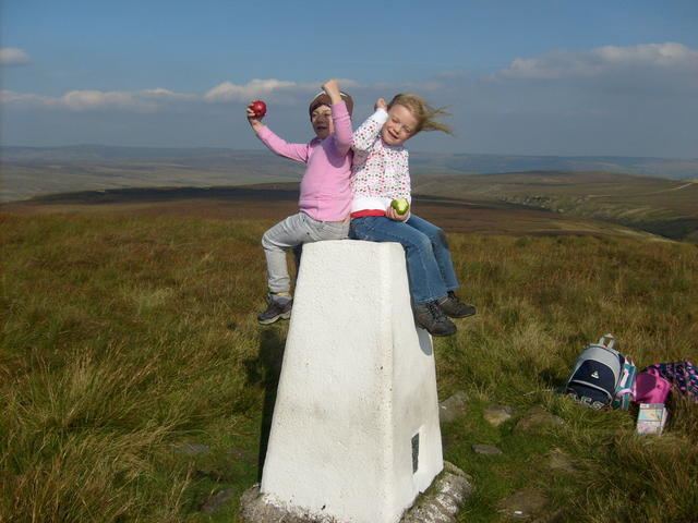
Meugher (/ˈmuː.fər/) is a hill in the Yorkshire Dales, England. It lies in remote country between Wharfedale and Nidderdale, in the parish of Stonebeck Down less than 1 kilometre (0.6 mi) outside the Yorkshire Dales National Park but within the Nidderdale Area of Outstanding Beauty. The hill has a conical peak topped by an Ordnance Survey triangulation pillar, and has been described as "perhaps the remotest and least inviting summit in the Yorkshire Dales", although a shooting track from near Lofthouse now approaches within 430 metres (470 yards) of the summit. It is within the Nidderdale drainage area, with Meugher Dyke draining the southern and eastern flanks, and Cross Gill draining the western flank, and the two draining the northern flank.
Map of Meugher, Harrogate, UK
The name was first recorded in 1120, and probably derives from the Old Norse mjór haugr, meaning "small hill".