
District Affoltern Elevation 468 m Population 4,109 (31 Dec 2008) | Canton Zurich SFOS number 0009 Local time Monday 9:32 AM Postal code 8932 | |
 | ||
Surrounded by Website www.mettmenstetten.ch SFSO statistics Weather 10°C, Wind NW at 8 km/h, 83% Humidity | ||
Mettmenstetten is a village in the district of Affoltern in the canton of Zürich in Switzerland.
Contents
- Map of 8932 Mettmenstetten Switzerland
- Origin of the name
- Geography
- Demographics
- Education
- Transport
- References
Map of 8932 Mettmenstetten, Switzerland
Origin of the name
The town took its name from being "In the middle". It was listed as being in the middle of two other locations (the exact identity of the locations have been lost in time). Additionally, people used to overnight at Mettmenstetten when they were traveling between Zurich and Luzern, as this town is about in the middle of the route.
Mettmenstetten is first mentioned in 1116 as Metemunstat. It is mentioned as Mettmonstetten in 1240 and as Metamonstetten or Methemonstettin in 1255.
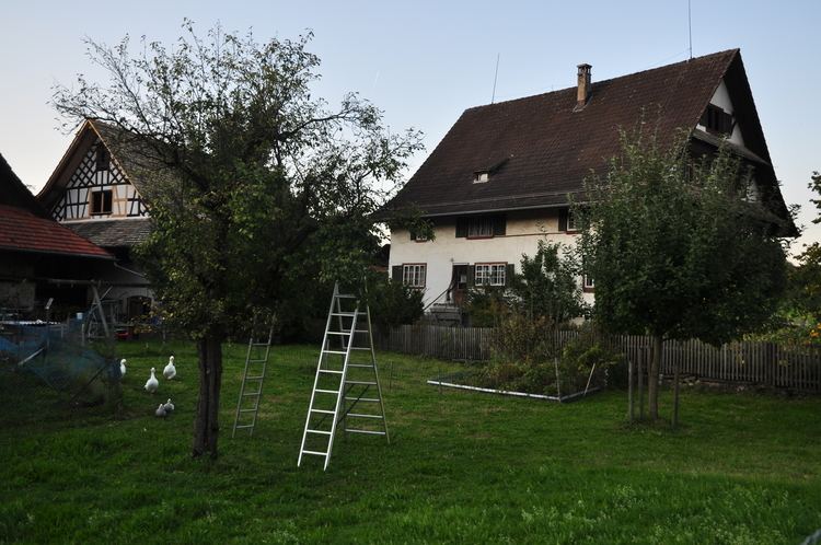
Geography
Mettmenstetten has an area of 13.1 km2 (5.1 sq mi). Of this area, 67.9% is used for agricultural purposes, while 18.9% is forested. Of the rest of the land, 13.1% is settled (buildings or roads) and the remainder (0.1%) is non-productive (rivers, glaciers or mountains).
It is located about 11 minutes driving distance from the City of Zug, and 18 minutes from the City of Zurich. Affoltern is about 5 minutes north.
The municipality includes the village of Mettmenstetten, with the two core sections of Ober- and Untermettmenstetten as well as the other sections; Dachlissen, Eigi, Grossholz, Herferswil, Hübscheren, Rossau and Wissenbach. It is located an elevation of 460 m (1,510 ft).
Demographics
Mettmenstetten has a population (as of 31 December 2015) of 4,659. As of 2007, 10.9% of the population was made up of foreign nationals. Over the last 10 years the population has grown at a rate of 18%. Most of the population (as of 2000) speaks German (92.8%), with Serbo-Croatian being second most common ( 1.7%) and Italian being third ( 1.6%).
In the 2011 election to the National Council the most popular party was the SVP which received 30.50% of the vote. The next four most popular parties were the SPS (15.41%), the GLP (12.75%), the FDP (8.49%), and the GPS (7.19%).
The age distribution of the population (as of 2000) is children and teenagers (0–19 years old) make up 27% of the population, while adults (20–64 years old) make up 63.3% and seniors (over 64 years old) make up 9.7%. In Mettmenstetten about 83.2% of the population (between age 25-64) have completed either non-mandatory upper secondary education or additional higher education (either university or a Fachhochschule).
Mettmenstetten has an unemployment rate of 1.3%. As of 2005, there were 154 people employed in the primary economic sector and about 54 businesses involved in this sector. 461 people are employed in the secondary sector and there are 45 businesses in this sector. 599 people are employed in the tertiary sector, with 105 businesses in this sector. The historical population is given in the following table:
Education
The city offers daycare, kindergarten, primary and secondary school. There are 90 kids in the kindergarten, 310 in the primary school and 213 in the secondary school.
Transport
Mettmenstetten railway station is a stop of the Zürich S-Bahn on the line S9. It is a 36 minute ride from Zürich Hauptbahnhof.
It is only 10 minutes driving-distance to A4 highway that connects Zürich with Luzern.