
Founded 1 April 1974 Local time Monday 6:53 AM | Demonym(s) Saint Helenian | |
 | ||
Weather 10°C, Wind SW at 18 km/h, 87% Humidity | ||
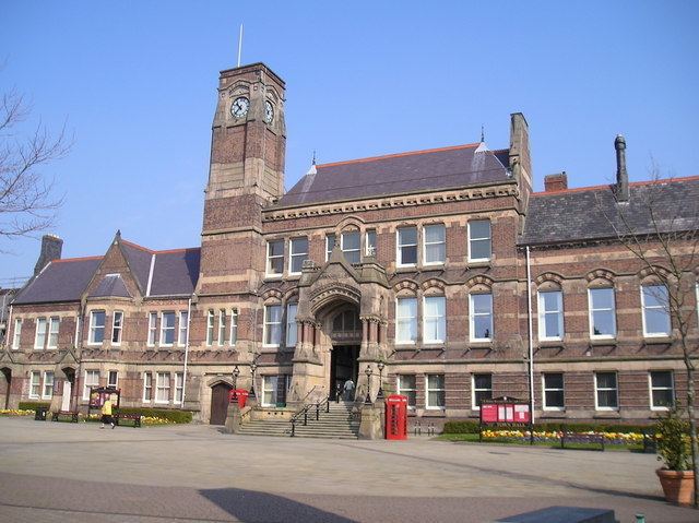
The Metropolitan Borough of St Helens is a metropolitan borough of Merseyside, in North West England. It is named after its largest town St Helens, and covers an area which includes the settlements of Newton-le-Willows, Earlestown, Haydock, Rainhill, Eccleston, Clock Face, Billinge and Rainford.
Contents
- History
- St Helens Metropolitan Borough Council Composition
- Parliamentary constituencies
- Liverpool City Region Combined Authority
- Geography
- References
The Metropolitan Borough Council is made up of 48 councillors, with three representing each of the 16 wards of the borough.
History
The Metropolitan Borough was formed on 1 April 1974 as a merger of the former County Borough of St Helens, along with the urban districts of Haydock, Newton-le-Willows and Rainford, and parts of Billinge-and-Winstanley and Ashton-in-Makerfield urban districts, along with part of Whiston Rural District, all from the administrative county of Lancashire.
Between 1974 and 1986 the borough council shared functions with Merseyside County Council. The functions of this body were in part devolved to the boroughs and in part transferred to ad hoc agencies.
St Helens Metropolitan Borough Council Composition
Elections to St Helens Metropolitan Borough Council are held in three out of every four years, with one-third of the 48 seats on the council being elected at each election.
The Labour party has had a majority on the council since the first election in 1973, except for a period between the 2004 election and the 2010 election when no party had a majority. This allowed an alliance between the Liberal Democrats and the Conservatives to take control after the 2006 election until Labour regained control in 2010.
Since then Labour has strengthened its position on the council and as of the 2014 election the council is composed of the following councillors:-
Parliamentary constituencies
Liverpool City Region Combined Authority
The Metropolitan Borough of St Helens is one of the six constituent local government districts of the Liverpool City Region. Since 1 April 2014, some of the borough's responsibilities have been pooled with neighbouring authorities and subsumed into the Liverpool City Region Combined Authority.
The combined authority has effectively become the top-tier administrative body for the local governance of the city region and the leader of St Helens Metropolitan Borough Council, along with the five other leaders from neighbouring local government districts, take strategic decisions over economic development, transport, employment and skills, tourism, culture, housing and physical infrastructure.
Geography
The borough borders the borough of Knowsley, within Merseyside, in the south-west, the Lancashire district of West Lancashire in the north, the Greater Manchester Borough of Wigan in the north-east, and to the south the boroughs of Warrington and Halton in Cheshire.
The St Helens Borough covers roughly 30 km² over an area of soft rolling hills used primarily for agricultural purposes, mainly arable. The highest point in the Metropolitan Borough of St Helens, and the whole of Merseyside, is Billinge Hill, 4.5 miles (7.2 km) north from St.Helens centre. The borough is landlocked with a stream running through, Mill Brook/Windle Brook running through Eccleston and connecting with the (disused) St. Helens Branch/Section of the Sankey Canal in the town centre. The centre of St Helens is around 160 feet (50 m) above sea level.
From the top of Billinge Hill the cities of Manchester and Liverpool are visible on a clear day as well as the towns of, Bolton and Warrington.
Carr Mill Dam is Merseyside's largest body of inland water, offering picturesque lakeside trails and walks as well as national competitive powerboating and angling events.
The Burgies are two tailings on the site of the old Rushy Park coal mine. They were created by the dumping of toxic chemical waste from the manufacture of glass, they have since been covered with tall grass and woodland.